


Distance: 7 km
Duration (average) : 02h
Elevation: 44 D +
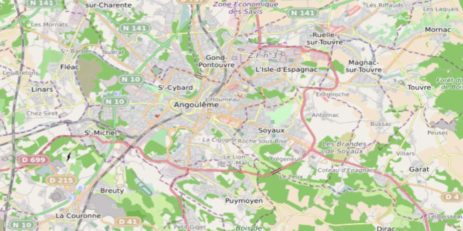
Departure: Station Square
LOOP
Circuits of France_circuits
Circuits of France_POI
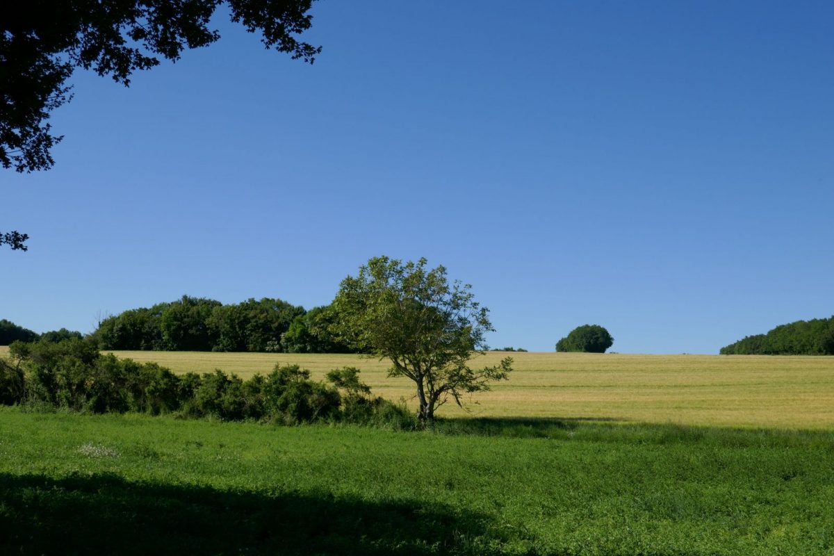
Outside
Registered with the PDIPR
Yellow markings
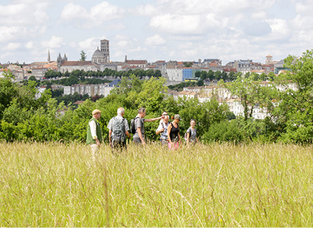
Panoramic view
In the countryside
 Walking
Why we love
This rural hike will make you discover the past of Brie by following the old railway line, crossing the village of Temple or along the old hemp forests where the hemp retunned.

Your itinerary
1
Step 1
The old Petit Mairat station which served the town was located on this square. At the start of the hike, a plaque explains the history of the steam train which ran, from 1912, on the Angoulême-Confolens line and which transported passengers and goods.
Cross the rue du Bourg, follow the chemin de la Cure to reach the valley, passing in front of the fully restored former presbytery.
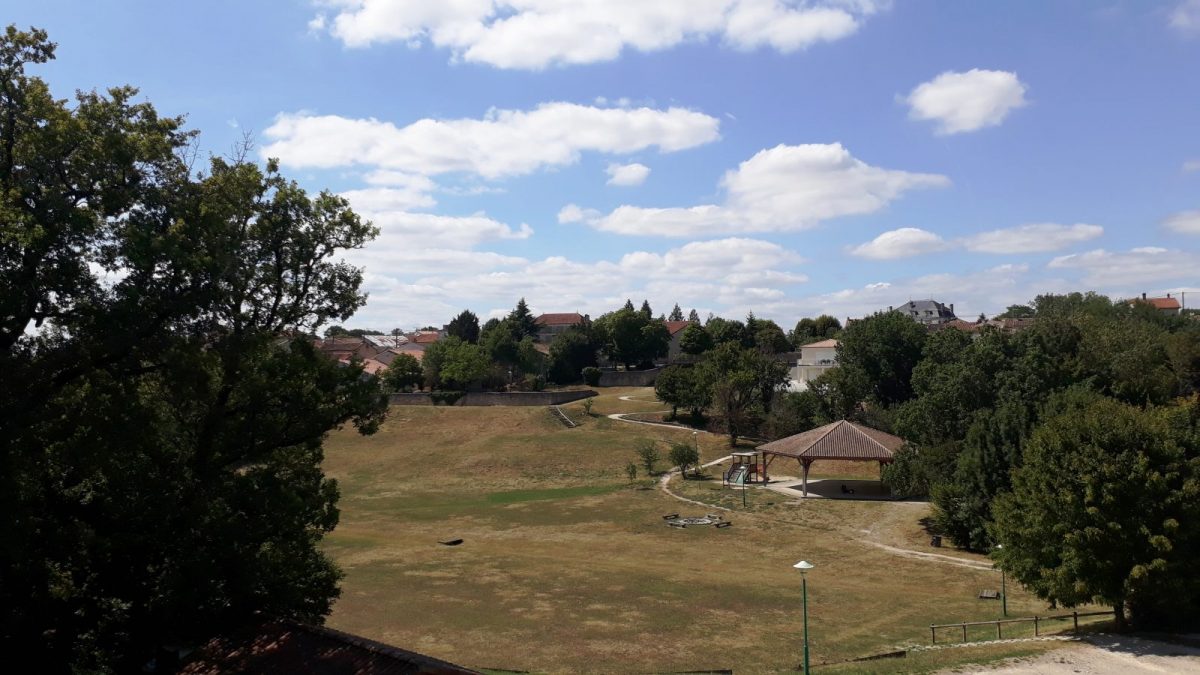
Arriving in the Valley, walkers can sit on the bleachers blending into nature and contemplate the hall, the playground and the citizen orchard. Keep going straight.
Cross the rue du Bourg, follow the chemin de la Cure to reach the valley, passing in front of the fully restored former presbytery.
Arriving in the Valley, walkers can sit on the bleachers blending into nature and contemplate the hall, the playground and the citizen orchard. Keep going straight.
2
Step 2
Cross the field to join the Maine Joizeau road. Follow the road to the bus shelter on the left then take the path towards Les Rigalloux.
3
Step 3
In Les Rigalloux, a 300m detour to the left can lead to the village of Tartassonne where André Thévet, tobacco importer in France in the XNUMXth century lived, and allows you to see his Renaissance-style family home with mullioned windows, in the street that leads to her name.
Take the direction of the Temple by turning back. The presence, in the Middle Ages, in this village, of a commandery of the Templars gave this name to the hamlet. A plaque recalls the history of this village.
On leaving the village, at the end of the road, go up the small path in the undergrowth to the D91 and cross it. Continue on the white path.
4
Step 4
Turn immediately left on the old railway line - which once led to Verrières station, located at the bottom of the village. The little train was supplied with water at this place thanks to a well which still exists.
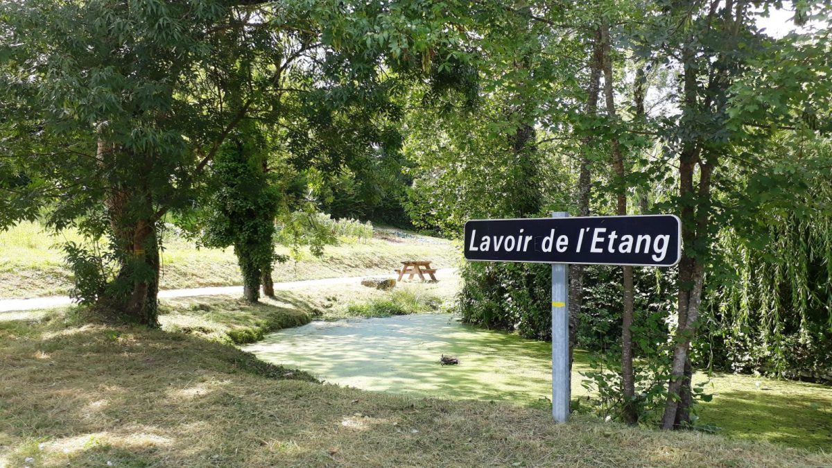
Turn right then immediately left. Follow the path to the wash house.
Turn right then immediately left. Follow the path to the wash house.
5
Step 5
Formerly, here extended a pond with an area of 6 m800. This pond belonged to the seigneury of Nesmond, the story of which is told on a plaque at the entrance to the village of the house opposite the cemetery. After the Revolution, it was partially drained and transformed into a meadow. The hemp grown on the many hemp groves that lined this place was reddened there. Today only a small piece of water remains surrounded by gardens.
Arriving on the Brebions road, turn left to reach the church.
Reach the starting point along the primary school on the right.
Arriving on the Brebions road, turn left to reach the church.
Reach the starting point along the primary school on the right.