


Distance: 10 km
Duration (average) : 03h
Elevation: 101 D +
Departure: Washhouse of the village
LOOP
Circuits of France_circuits
Circuits of France_POI
Outside
Registered with the PDIPR
Blue markup
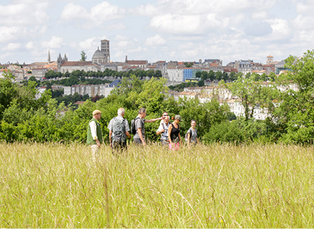
Panoramic view
In the countryside
 Walking
Why we love
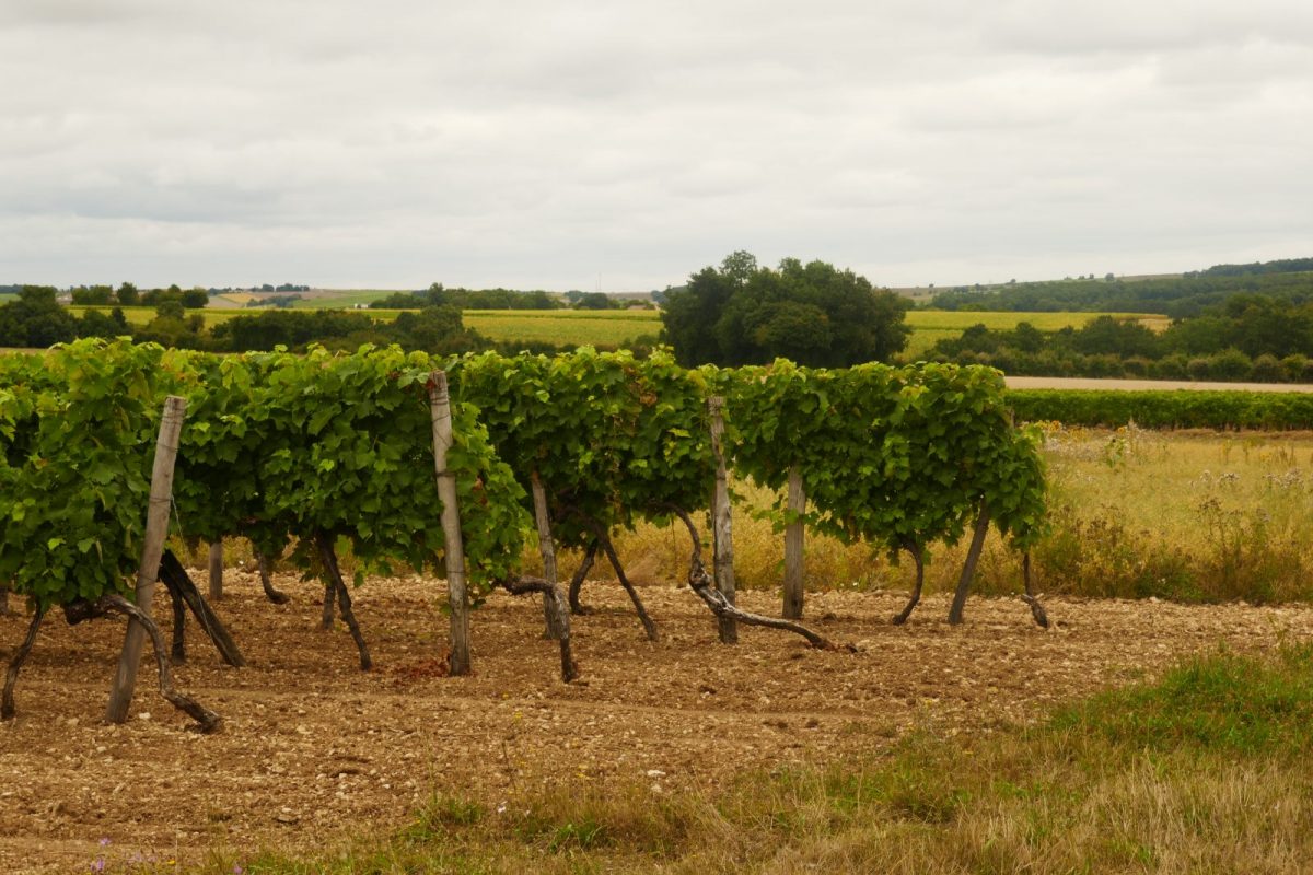
From ridge to ridge, stroll through the vineyards, enjoy beautiful views of the surrounding villages and towns and walk along the Nouère, as the railway line used to. The weir of the pond will invite you to a refreshing break.

Your itinerary
Asnières-sur-Nouere
1
Step 1
Start from the washhouse, located behind the Romanesque church placed under the protection of Saint-Martin.
Go past the shops. The panel nearby gives details of the origin of Asnières.
Go past the shops. The panel nearby gives details of the origin of Asnières.
2
Step 2
Take the road to the right in the direction of “Chez Veau”. After about 200 m, take the “chemin des Vignes” on the left.
3
Step 3
Continue straight in the direction of “Troquerauds” between vineyards and shade. Cross the pretty bridge that spans the Nouère, and do not hesitate to lean over to admire this corner of greenery and water, as well as the small washhouse.
Arrived at the RD53, admire the magnificent traditional Charentais gate opposite.
Carefully follow this road for about 200 m to the right.
Arrived at the RD53, admire the magnificent traditional Charentais gate opposite.
Carefully follow this road for about 200 m to the right.
4
Step 4
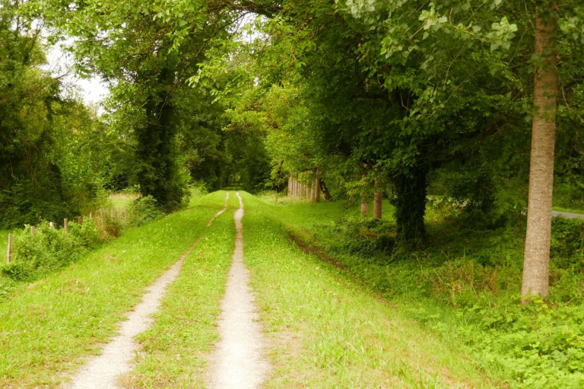
Take the 1st path on the left, - this is the old railway line linking Angoulême to Rouillac between 1885 and 1950. This line crossed the town from north to south. The station was located in the village of Neuillac. The train nicknamed "le P'tit Rouillat" was criticized for its slowness, 25 km/h and its untimely stops. The Asnières-Angoulême journey lasted more than two and a half hours!
Arrived at the road, turn immediately right into the parallel path. Between pieces of vines and crops, you follow the boundary of the commune with Douzat. Enjoy the magnificent viewpoints over the town and the church of Saint-Genis d'Hiersac.
Arrived at the road, turn immediately right into the parallel path. Between pieces of vines and crops, you follow the boundary of the commune with Douzat. Enjoy the magnificent viewpoints over the town and the church of Saint-Genis d'Hiersac.
5
Step 5
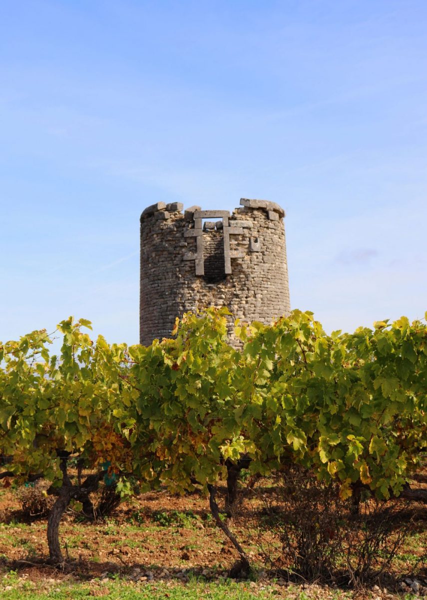
At the crossroads, follow the road to the right and leave it immediately to take the path on the left behind the hedge. After the bend, continue towards the wood opposite. Come out on the white path, go to the right, ignore a first path, go up to the next intersection – on your right are the remains of the Neuillac windmill dating from 1870. This would never have worked and was destroyed in a storm in 1904.
6
Step 6
Follow the white path on the left, further on, continue on the left ignoring the path that goes down to Neuillac. Go to the next crossroads and turn right and go down to the RD 53.
7
Step 7
Cross it to take the greenway – old railway line – to the car park.
Turn left and go up towards the village of Chez Veau, always keeping to the right.
Turn left and go up towards the village of Chez Veau, always keeping to the right.
8
Step 8
Cross the RD 115, pass in front of the houses on the Route des Sablons and come out on the municipal road. Cross it and take the path opposite which goes down to the RD 96.
9
Step 9
Cross to head towards the weir. Go down to the right, pass in front of the pretty little freestone basin to return to the village by following the pretty shaded path below the RD96.