


Distance: 15.5 km
Duration (average) : 04h
Elevation: 133 D +
Departure: Parking of the cultural center
LOOP
Circuits of France_circuits
Circuits of France_POI
Outside
Registered with the PDIPR
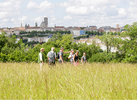
Exceptional view
Red markup
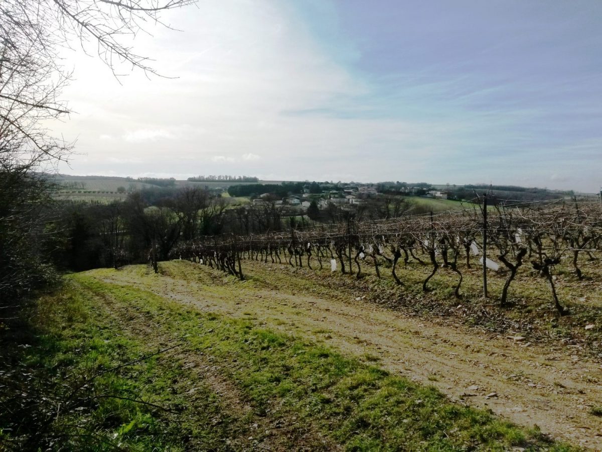
Panoramic view
View of the vineyard
In the countryside
 Walking
Why we love
A beautiful immersion in the vineyards of Cognac by ridge paths where splendid 360° panoramas are offered to hikers on both sides of the Fontguyon valley.

Your itinerary
Saint-Saturnin
1
Step 1
Head towards the town hall. Place François Mitterrand, take the Route des Chaumes on the left. Turn right past the tennis courts to reach the school car park.
Turn right on the road to Hiersac and immediately turn left on the chemin de la Croix du Chat, leaving the war memorial on your right.
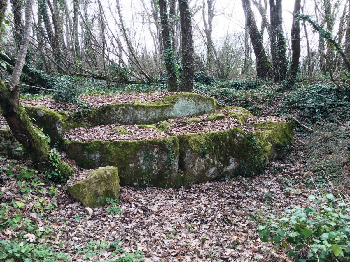
Continue straight on the white path, see the blocks of cut stones.
Go down towards the RN 141.
After the tunnel, turn right to the path that climbs to the left – view of the hamlet of Tarsac.
On the horizon looms the Paris-Bordeaux high-speed line (LGV).
Turn right on the road to Hiersac and immediately turn left on the chemin de la Croix du Chat, leaving the war memorial on your right.
Continue straight on the white path, see the blocks of cut stones.
Go down towards the RN 141.
After the tunnel, turn right to the path that climbs to the left – view of the hamlet of Tarsac.
On the horizon looms the Paris-Bordeaux high-speed line (LGV).
2
Step 2
Higher, leave the path that goes straight ahead to turn right just behind the hedge.
Go down towards the road which we follow on the left to go up to the village of Tarsac.
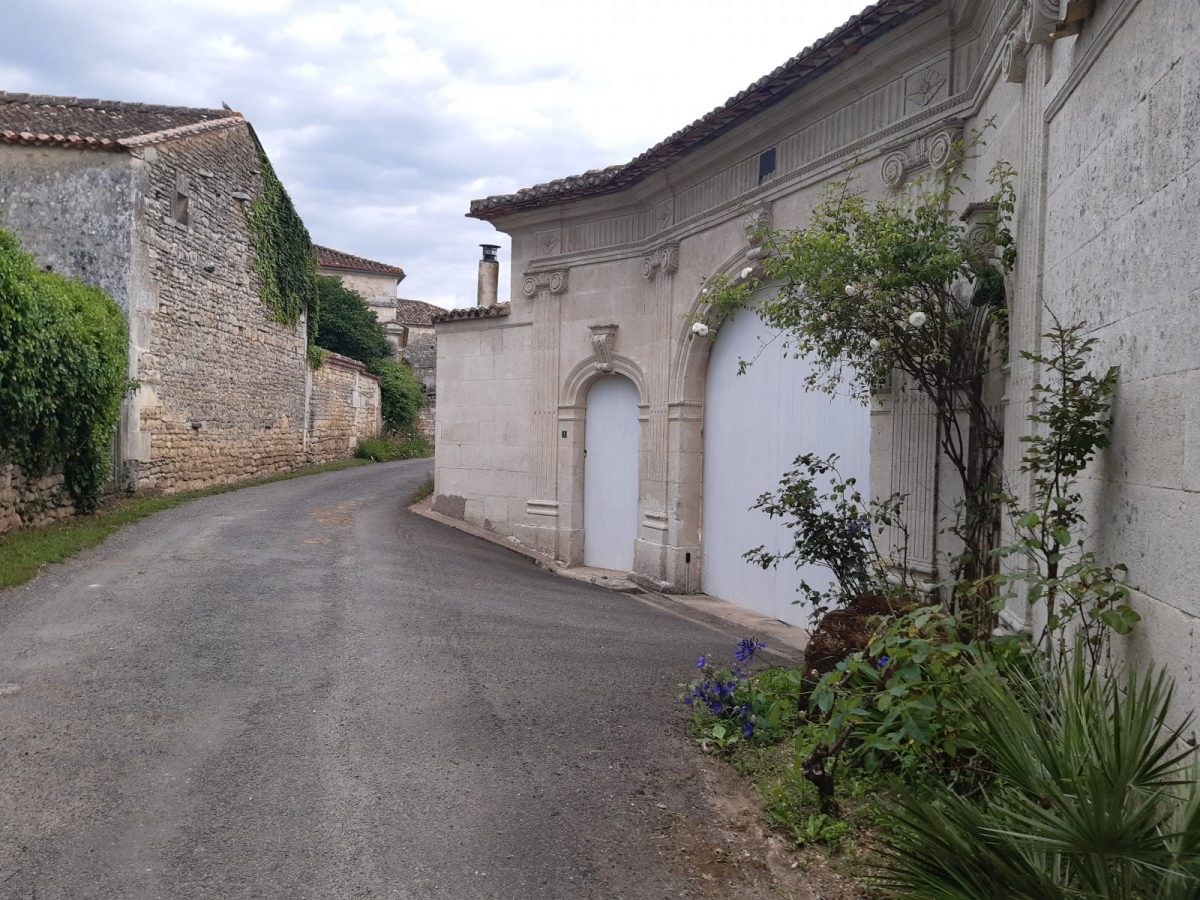
Turn left then immediately right rue des Charmilles and rue du Puits to discover the Charente farmhouses - with their typical porches and the roofs of the aging cellars blackened by "torula compniacensis", the microscopic fungus that feeds on alcohol vapours. Visit / tasting of Bourgoin cognac by appointment. Off course, see the old temple built in 1852 at the west entrance.
At the end of the Rue du Puits, go down towards the exit of the village on the left.
Go down towards the road which we follow on the left to go up to the village of Tarsac.
Turn left then immediately right rue des Charmilles and rue du Puits to discover the Charente farmhouses - with their typical porches and the roofs of the aging cellars blackened by "torula compniacensis", the microscopic fungus that feeds on alcohol vapours. Visit / tasting of Bourgoin cognac by appointment. Off course, see the old temple built in 1852 at the west entrance.
At the end of the Rue du Puits, go down towards the exit of the village on the left.
3
Step 3
Leave the road to turn left on the path that descends into the valley of the tributary of the Nouère, the Fontguyon. After the stream, a nice shaded path climbs up to the ridge.
4
Step 4
At the top, take the white ridge path to the left which runs along the vines on either side - panorama.
Cross the road and continue straight until the next junction.
Cross the road and continue straight until the next junction.
5
Step 5
Leave the path that goes up to go down to the left in the wood.
Cross the road to take the path opposite. Continue straight in the valley, cross the Fontguyon and go up the hillside.
Off course: you can see at the top on the right "La maison des abeilles" housing an orientation table, a stopover open to all hikers.
Turn left at the intersection then straight ahead. On the left is revealed the village of Tarsac.
Cross the road and continue straight on the path that descends towards the RN141 and follow it to the tunnel.
6
Step 6
Go back under the tunnel taken on the outward journey and climb up to the intersection of the four paths.
7
Step 7
For the 12 km loop, continue straight ahead following the red markings.
For the 15,5 km loop, turn right to follow the path that runs alongside the crops for 1,2 km.
For the 15,5 km loop, turn right to follow the path that runs alongside the crops for 1,2 km.
8
Step 8
At the end of the path, carefully cross the road to follow the constructions until you reach Chemin de Mouillac, which you take to the left. Follow the road to the village - where you can admire beautiful porches including the 3-sided gate of the old Mouillac dwelling with its slate roof.
9
Step 9
At the entrance to the hamlet, continue to the left to join the path that climbs through the woods, bordered by a beautiful dry stone wall. At the exit of the wood, you can admire on the right the magnificent Maillou castle with its imposing keep.
Continue straight on the road and go through the school car park as on the way out, which takes you back to the village of Saint-Saturnin.
Continue straight on the road and go through the school car park as on the way out, which takes you back to the village of Saint-Saturnin.