


Distance: 8 km
Duration (average) : 02h
Elevation: 121 D +
Departure: Church Square
LOOP
Not recommended in bad weather
Circuits of France_circuits
Circuits of France_POI
Outside
Registered with the PDIPR
As the water flows
Exceptional view
Blue markup
Panoramic view
River or river within 300 m
At the water's edge
In the countryside
 Walking
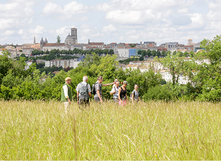
Why we love
This beautiful hilly hike will take you from the fountains of Ladoux, les Guérinauds and La Faye to the Charente river.


Your itinerary
1
Step 1
On the square of the XNUMXth century Saint Gervais Saint Protais church, a desk tells the story of this stage on the way to Santiago de Compostela.
From the church car park, turn left, rue du Centre, turn right to join the RD 96 then take the first road on the left, chemin du Ladon. Continue for 150 m and take the path on the left. Turn right, right again to walk along the outer wall of the Logis du Quanty.
From the church car park, turn left, rue du Centre, turn right to join the RD 96 then take the first road on the left, chemin du Ladon. Continue for 150 m and take the path on the left. Turn right, right again to walk along the outer wall of the Logis du Quanty.
2
Step 2
Note a square pavilion which contained a dovecote. This dwelling belonged to Gaëtan de Béarn in the last century. He sold his properties to pay for his studies and his lifestyle in Paris.
Go down the Chemin du Quanty.
Go down the Chemin du Quanty.
3
Step 3
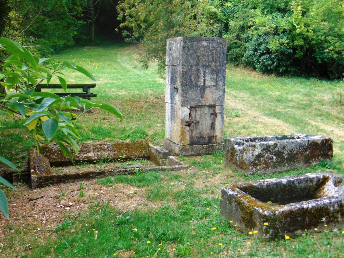
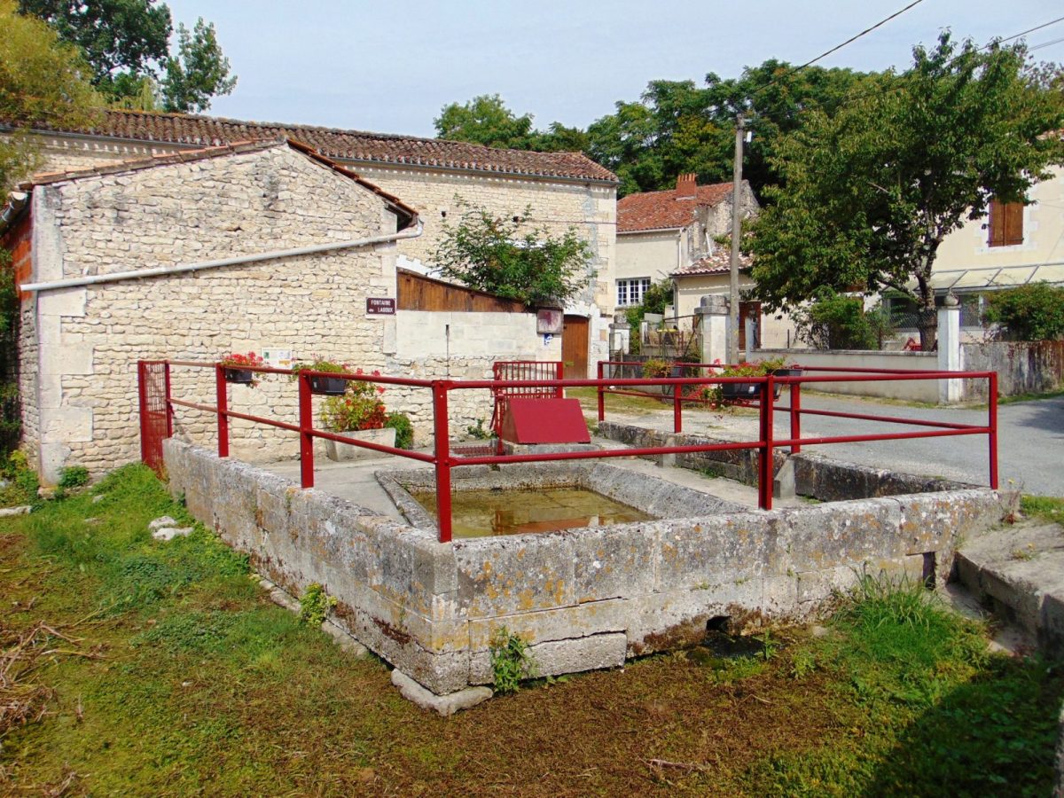
Turn right, rue de Ladoux, then left to take rue du Lavoir and walk through the village Ladoux, where the Le Ladon stream flows. A plaque on the wall of the fountain and the wash house sheds light on their history and that of the source of the Ladon called “L'oeil du Cros”.
At the fountain turn left, take the 2nd right, then the first left, chemin du Brigonnet and go straight up.
At the fountain turn left, take the 2nd right, then the first left, chemin du Brigonnet and go straight up.
4
Step 4
Continue straight, then turn right to join the RD96. Turn right then left, Route des Trois Villages.
Continue straight through the village of Tessonnières, take the Rue des Cavaliers on the left for 15 m and immediately the one on the right to pass in front of the Guérinauds fountain.
Turn left towards Combefolle.
Continue straight through the village of Tessonnières, take the Rue des Cavaliers on the left for 15 m and immediately the one on the right to pass in front of the Guérinauds fountain.
Turn left towards Combefolle.
5
Step 5
Take the 2nd left, rue Bonnetaud, then right and left to discover the village of La Faye.
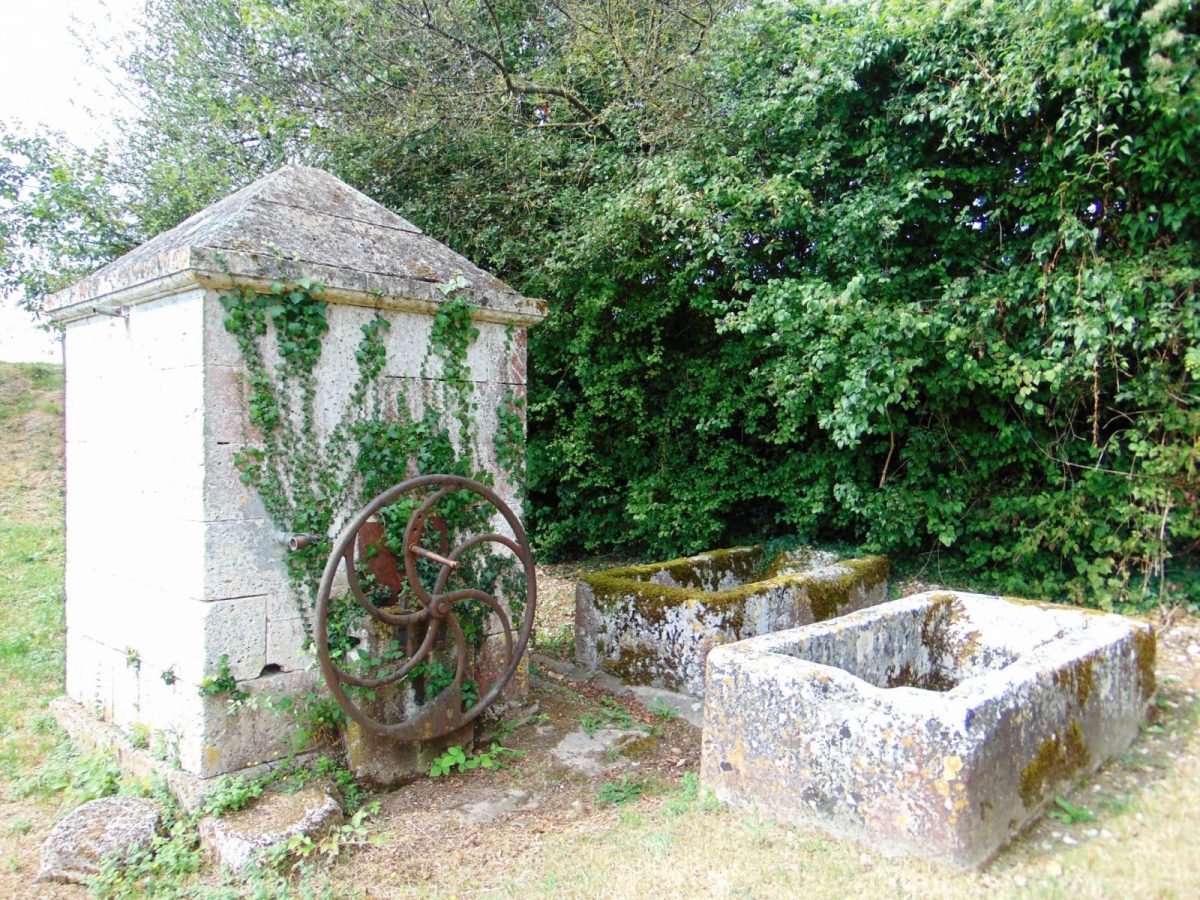
Go down to the Faye fountain. Two stone tubs placed in front of the fountain were used to wash clothes.
Then, go up to reach Font des Rentes. At the next crossing, turn left, then climb to a remarkable viewpoint.
Then, turn right to go up the chemin de la côte de Châtelard, where several viewpoints reveal the landscape. This coast gives access to the natural area of ecological interest for fauna and flora (ZNIEFF), where several varieties of orchids grow, one of which has the common name Pentecost, and where protected bird species live. .
6
Step 6
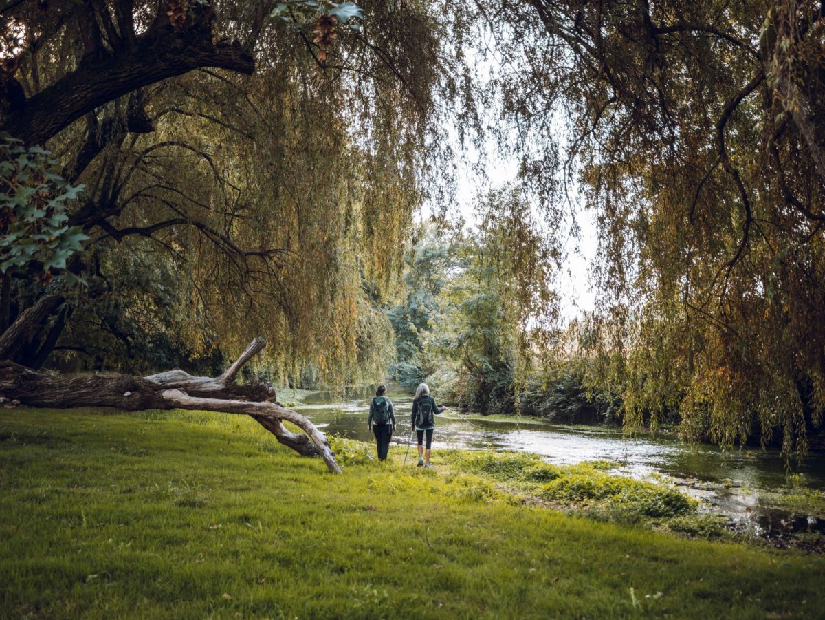
Arriving at the village of Puant, cross the road to Guissalle to reach the port of Puant – so called because of the nauseating odors given off by the work of hemp, “rouir le hemp” in the XNUMXth century. Along the Charente on the left, you can see an old fishery on the right: a stone wall that crosses ¾ of the watercourse.
Exit at the main port.
Once on the road, turn right to pass in front of the Logis des Montagnes, which had a dovecote which has lost its upper floor.
Turn 2nd left, chemin du petit Port, then right, rue de l'église, to reach the place de l'église.
Exit at the main port.
Once on the road, turn right to pass in front of the Logis des Montagnes, which had a dovecote which has lost its upper floor.
Turn 2nd left, chemin du petit Port, then right, rue de l'église, to reach the place de l'église.