


Distance: 13 km
Duration (average) : 04h
Elevation: 83 D +
Departure: Picnic area
LOOP
Not recommended in bad weather
Circuits of France_circuits
Registered with the PDIPR
Red markup
 Walking
Why we love
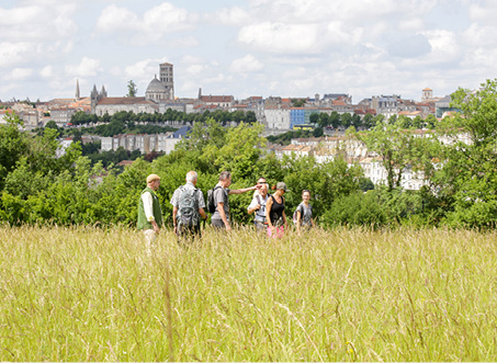
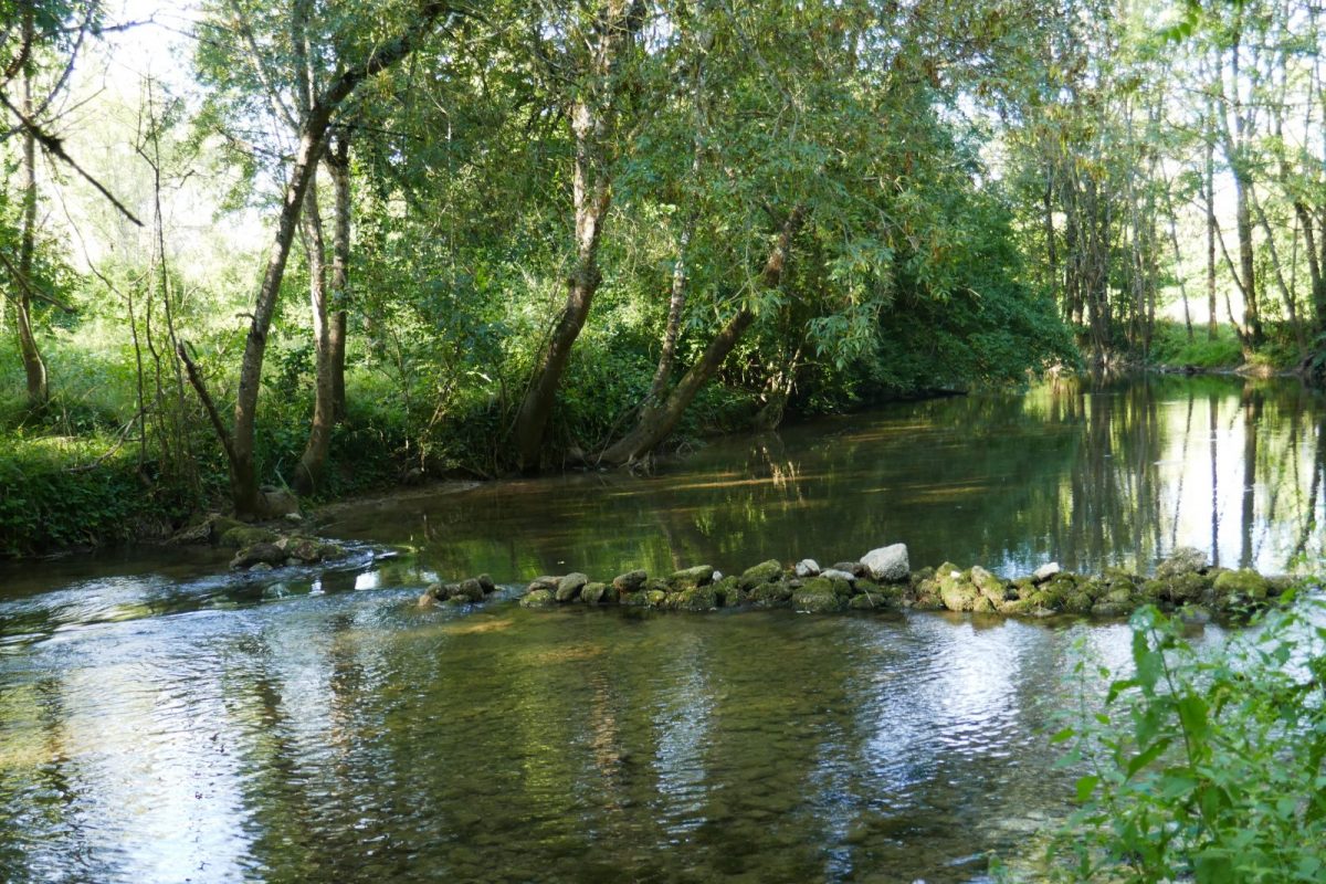
10 minutes from Angoulême, overlooking a wide meander of the Charente and its tributary the Argence, Balzac owes the presence of water to rich agricultural land. From village to village, the countryside and its rich heritage are slowly revealed.

Your itinerary
1
Step 1
Join the RD 737 which you follow to the left for 50 m before crossing carefully to join the path opposite.
Cross the barrier of the activity zone on the right. Take the first left and go down to the end of the road.
Cross the barrier of the activity zone on the right. Take the first left and go down to the end of the road.
2
Step 2
Turn right and immediately left to follow the path down to the Argence valley. Continue to the right on the small road to Peussec.
3
Step 3
Just after the last house and before the RD 105, take Chemin de la Vieille Montée, the wooded path that climbs up to the Balzac plateau.
Cross the Route de Vars to take the Chemin de la Croix du Merle opposite.
Cross the Route de Vars to take the Chemin de la Croix du Merle opposite.
4
Step 4
Follow the Route de l'Âge on the left, then the Route de Vindelle to the right for 200m.
Turn right Impasse du Champ de Frêne – off the route, see the town hall, post office, school and leisure center 50 m away.
Take care when crossing the fairly short Route de Vindelle to take the Route du Bois de Colas Rochier to the left for 500m.
Turn right Impasse du Champ de Frêne – off the route, see the town hall, post office, school and leisure center 50 m away.
Take care when crossing the fairly short Route de Vindelle to take the Route du Bois de Colas Rochier to the left for 500m.
5
Step 5
Turn left into the grassy path. At the end, follow the Route des Chabots to the left for about 200m and enter the woods on the right.
Ignore a first path on the left, turn twice left then twice right to leave the wood and descend through the crops towards the Charente.
Off course, access to the edge of the river by continuing straight ahead.
Ignore a first path on the left, turn twice left then twice right to leave the wood and descend through the crops towards the Charente.
Off course, access to the edge of the river by continuing straight ahead.
6
Step 6
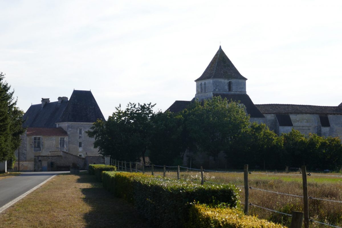
Turn right. At the end of a long straight line, and after 2 large curves, go up to the right towards the castle – which can be visited in the summer and in September for the European Heritage Days.
7
Step 7
After entering the castle, take the Route de la Croix to the left. Off course, see the Saint-Martin church behind the castle.
Turn right in front of the cemetery. Go through the village of Reigniers - off course, the impasse de la Chapelle on the right descends towards an arm of the river.
Continue Rue de chez Souchet. At the next intersection, turn right for 60 m.
Turn right in front of the cemetery. Go through the village of Reigniers - off course, the impasse de la Chapelle on the right descends towards an arm of the river.
Continue Rue de chez Souchet. At the next intersection, turn right for 60 m.
8
Step 8
Take the path to the left. Exit on the Route de la Terre des Prés which you follow for about 900m.
9
Step 9
At the intersection, descend to the left towards Vindelle and before the building, cross to enter the first path on the right which descends to the river.
Cross the barrier and follow the canoe route then the river.
Cross the barrier and follow the canoe route then the river.
10
Step 10
Below the yew overlooking the arboretum, cross the meadow to return to the hillside.
Follow the path to the left which makes a detour to go up towards the picnic area on the Route de la Font Saint-Martin.
Follow the path to the left which makes a detour to go up towards the picnic area on the Route de la Font Saint-Martin.
11
Step 11
At the crossroads, take the Route de l'Âge opposite and take the path on the left after the fountain - in the spring, the song of the lark will accompany you there. Turn left.
12
Step 12
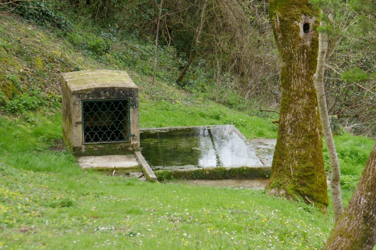
At the intersection, go back and forth to see the Saint-Martin font on the hillside.
Retrace your steps and follow the Route de la Gabote which leads back to the starting point.
Retrace your steps and follow the Route de la Gabote which leads back to the starting point.