


Distance: 12 km
Duration (average) : 03h
Elevation: 64 D +
Departure: Town Hall
LOOP
Circuits of France_circuits
Outside
Registered with the PDIPR
Yellow
Public transport stop within 500 m
Lake or body of water at -5 km
River or river within 300 m
At the water's edge
 Walking
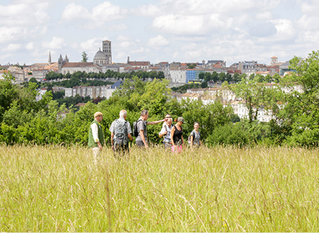
Why we love
Nestled between the Touvre and the Charente, the town of Gond Pontouvre has preserved an important natural heritage throughout which are revealed dykes, locks, bridges, mills, fountains and washhouses.

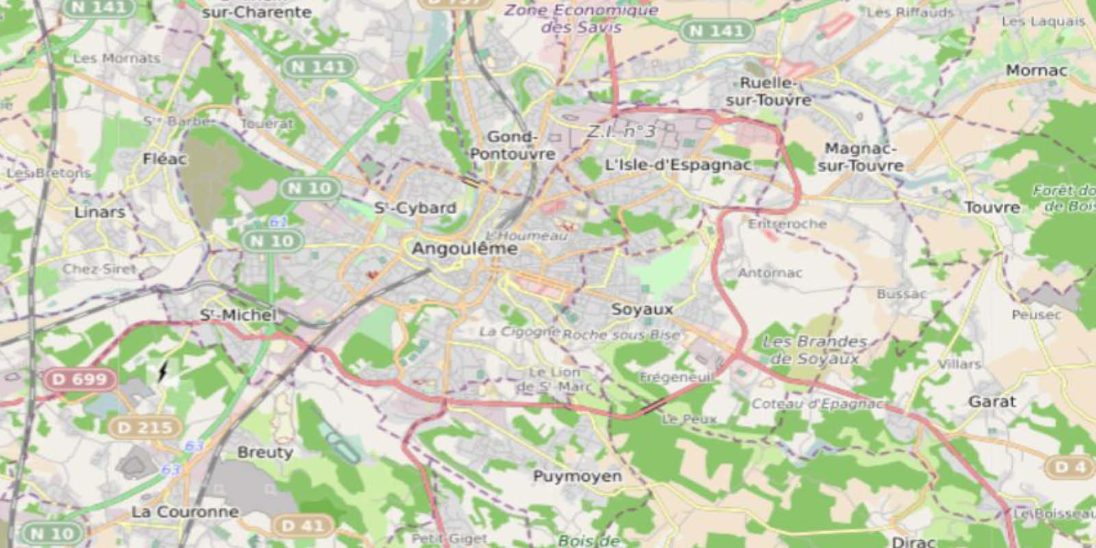
Your itinerary
Gond-Pontouvre
1
Step 1
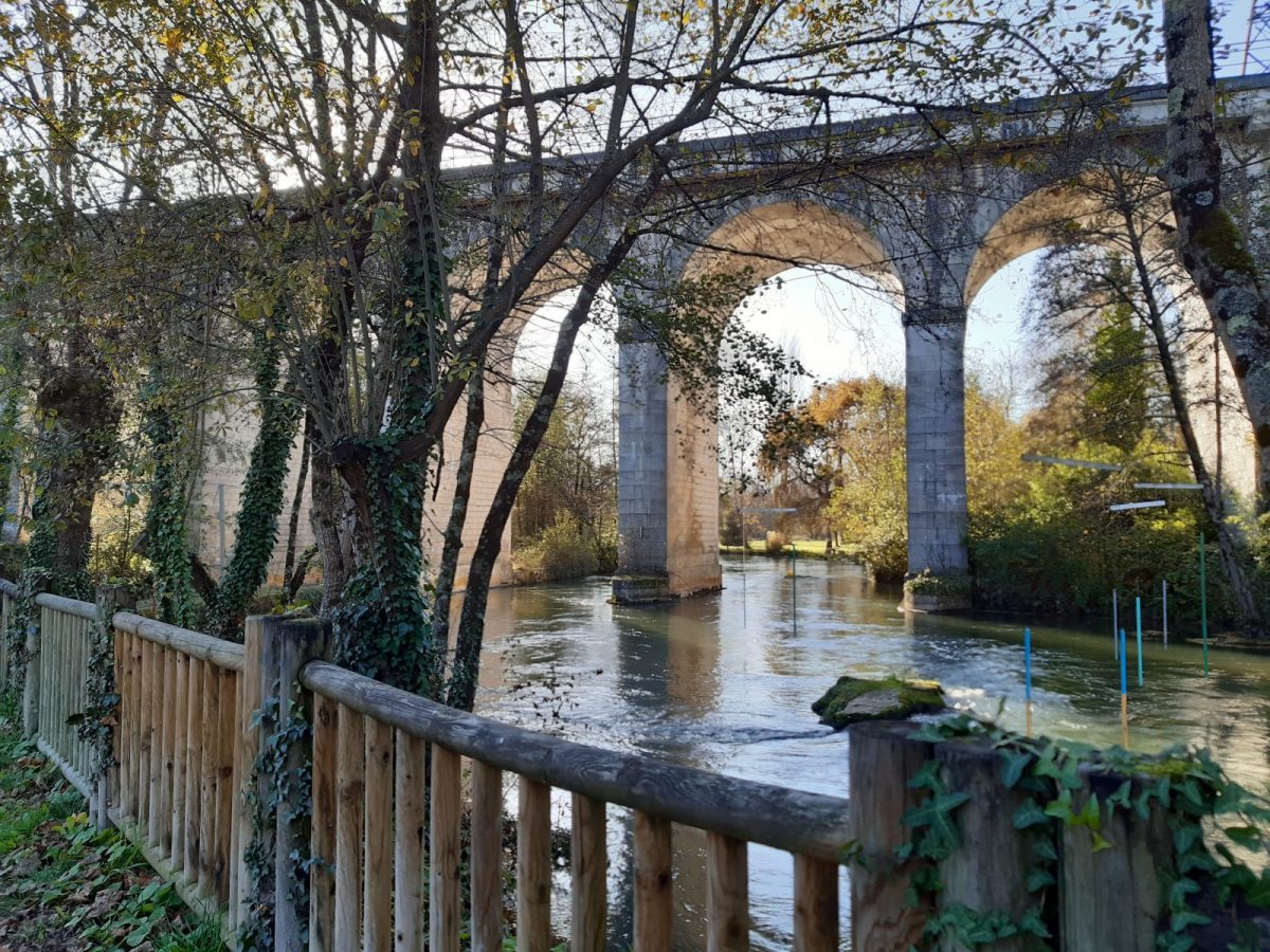
Pass under the arch to the left of the town hall to reach the island of Foulpougne and cross it. At the end of the footbridge, follow the sidewalk to the left under the Foulpougne viaduct.
2
Step 2
Take the footbridges on the left which overlook the canoe kayak course. Continue on the path, passing the skate-park.
3
Step 3
Pass under the railway tunnel on the left. Continue on Rue Leyssenot then take Rue du Souvenir on the left. At the end, follow Rue du Petit Vouillac to the right.
4
Step 4
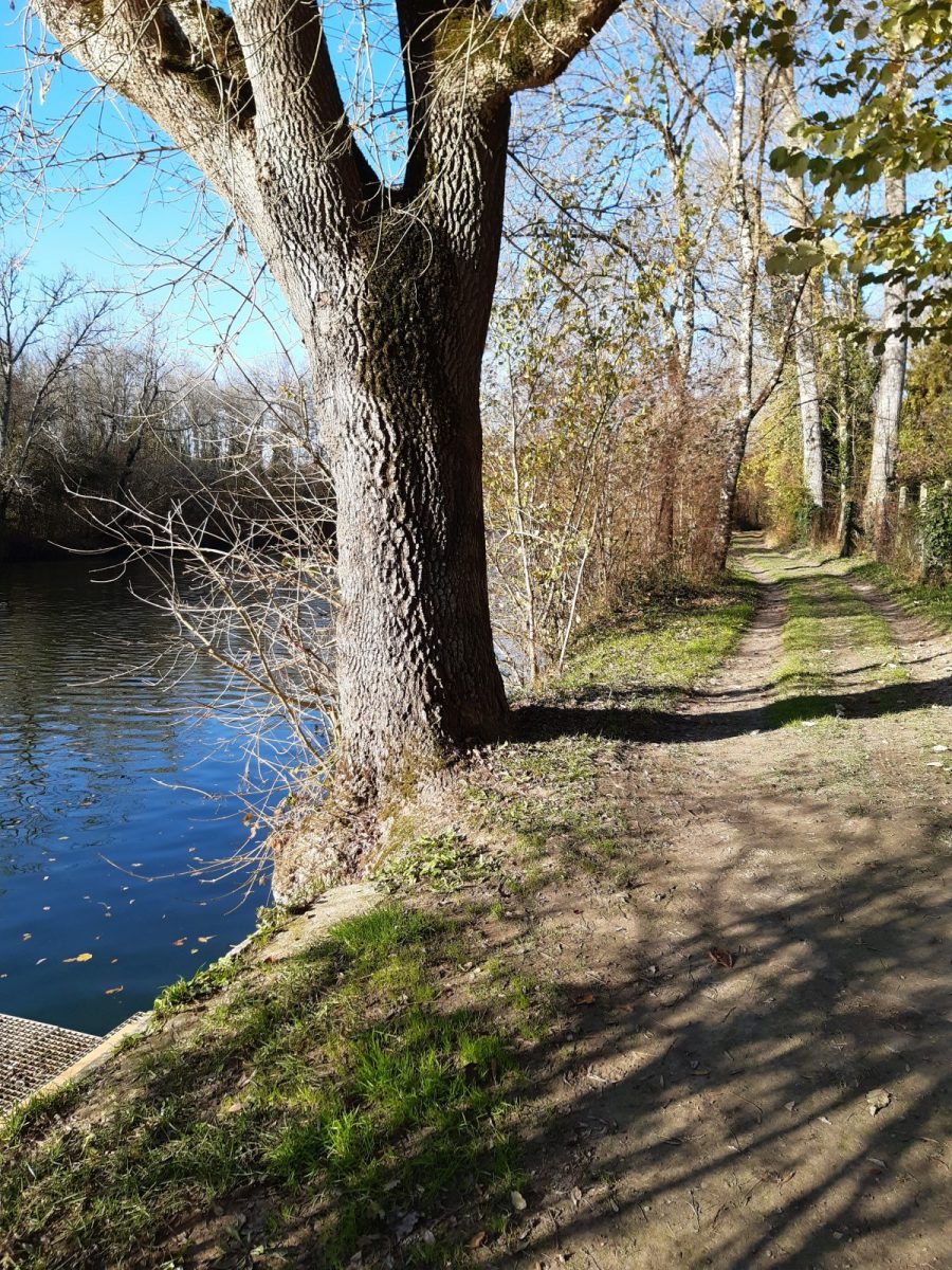
At the crossroads, cross the road to Vars and continue opposite Rue des Bourguets to the Charente. Continue to the right always straight on a beautiful shaded path.
At the wash house, take the small fisherman's path that runs along the river and come out at the foot of the RD 747 bridge.
At the wash house, take the small fisherman's path that runs along the river and come out at the foot of the RD 747 bridge.
5
Step 5
Cross the Route de Saint-Yrieix by the protected passage and follow the cycle path of “la Flow vélo” which crosses the river and goes down to the right towards the Coulée verte. Continue towards the lake to the left.
6
Step 6
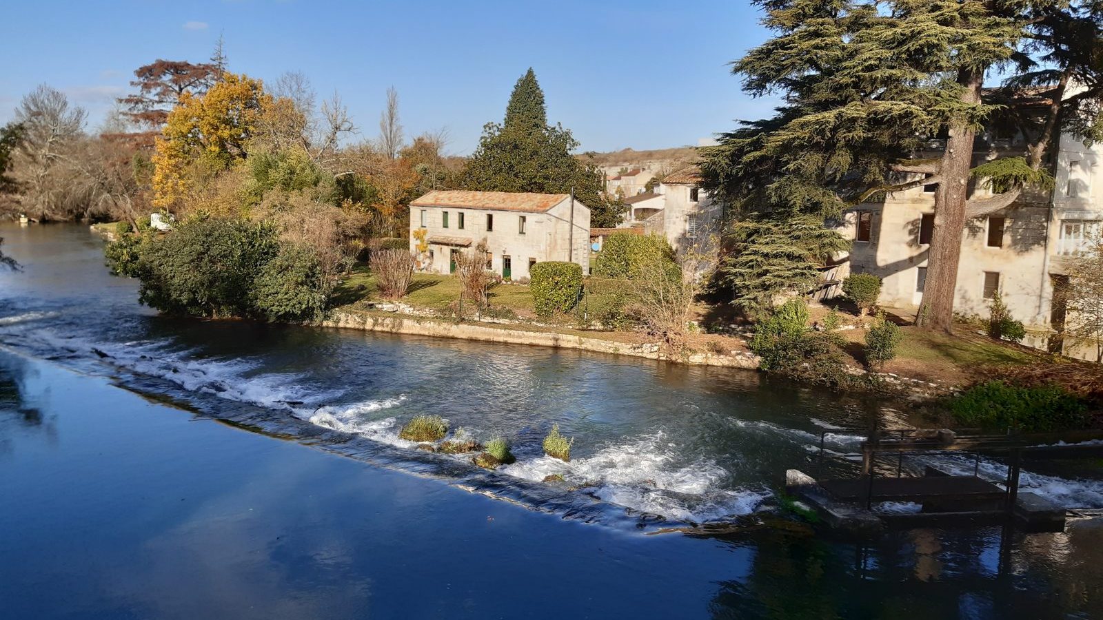
After crossing under the RN 10, reach the footbridge on the right which spans the river. Go back under the RN 10 and follow the Route de Vars to the left by the protected path - see the mill, the dyke and the old Chalonne lock as you pass.
At the wash house on the left, leave the Route de Vars and go up in the village on the right by the Rue Honoré de Balzac. Turn right on Place Buffon, and at the end follow Rue La Fontaine on the left. Turn right onto Rue Racine.
At the wash house on the left, leave the Route de Vars and go up in the village on the right by the Rue Honoré de Balzac. Turn right on Place Buffon, and at the end follow Rue La Fontaine on the left. Turn right onto Rue Racine.
7
Step 7
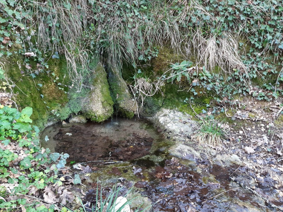
Just after the tunnel, follow the left path which leads to the Pisse-Menu fountain.
Climb the adjoining slope and continue straight ahead parallel to the railway line until you reach the Puyrenaud road which you follow to the right. Go past the houses and continue along the path.
Climb the adjoining slope and continue straight ahead parallel to the railway line until you reach the Puyrenaud road which you follow to the right. Go past the houses and continue along the path.
8
Step 8
At the intersection, go down to the right – panorama. At the next crossroads, follow the road to the right, leave it immediately to go left under the RN 10. Turn right behind, go along it a little before going up and then back down towards Le Treuil – panorama of Angoulême.
9
Step 9
At the intersection, ignore the streets on the left then the right, continue by Rue de la Croix Rompue then by Boulevard du Grand Plantier for 700 m. After the bend, take the path to the left.
10
Step 10
At the end of Rue des Plantiers, go to the crossroads of Route des Fours à Chaux. Cross it on the protected passages to catch up with the small parallel Rue des Fontenelles - See at the start of this street the remains of the old lime kilns which gave the street its name.
11
Step 11
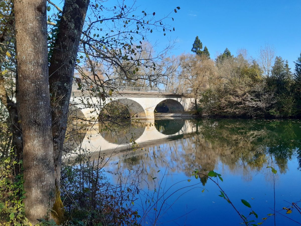
At the roundabout of the Pyramid, follow the Route de Paris to the right, admiring the dike and the mill on the Touvre from the bridge. The origin of Pontouvre is quite simply the contraction of "Pont sur la Touvre".
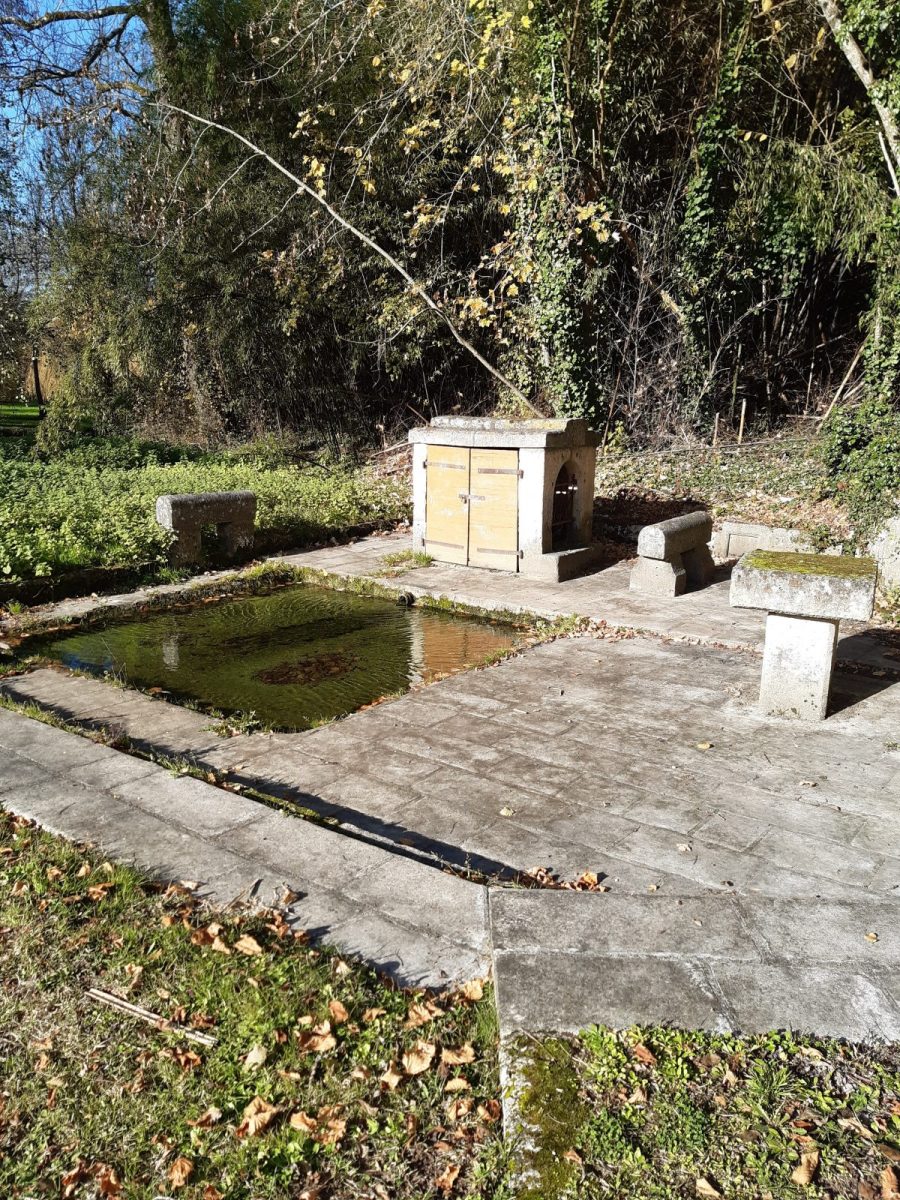
Turn right on Rue Pasteur for 500 m - see the restored wash house Place de l'Indépendance.
Turn right on Rue Pasteur for 500 m - see the restored wash house Place de l'Indépendance.
12
Step 12
Go down Rue des Anglades to the river. Go along the Touvre – risk of small wet passages – go up the Rue des Granges to the right. Reach Rue Pasteur and continue to the right, go back under the Foulpougne railway bridge.
Take the footbridge that leads to the island and return to the starting point.
Take the footbridge that leads to the island and return to the starting point.