


Distance: 13 km
Duration (average) : 03h
Elevation: 84 D +
Departure: Festival Hall
LOOP
Circuits of France_circuits
Circuits of France_POI
Registered with the PDIPR
History
green markup
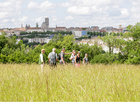
In the countryside
 Walking
Why we love
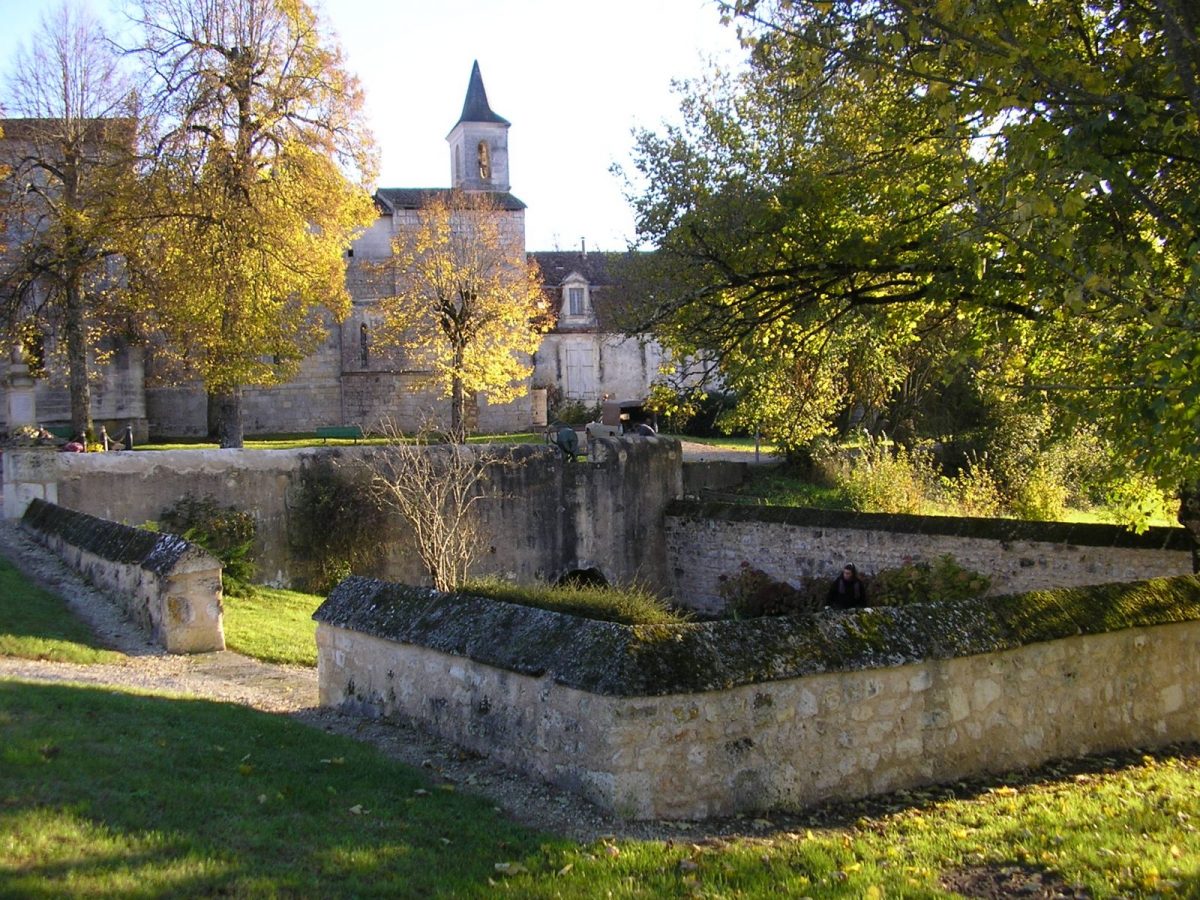
This walk from which you can admire the beautiful ensemble formed by the church, the castle and its washhouse, is also a page in the History of the Resistance and the Demarcation Line anchored in the Bouëxoise countryside, on the edge of forest .
Your itinerary
1
Step 1
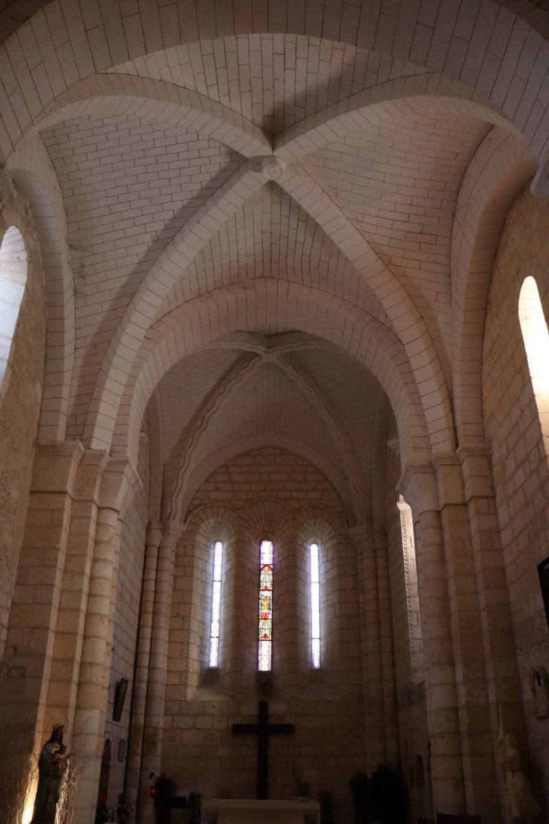
Head towards the Saint-Étienne church (1962th and 2010th centuries). Located at the foot of the castle, the fountain - washhouse used until XNUMX has kept its bucket pump. Since XNUMX, the wooden work "Alice" created by the artist Marie Denis dresses the washhouse which becomes a "mirror".
At the crossroads, turn left rue Chabasse.
At the crossroads, turn left rue Chabasse.
2
Step 2
Turn right after the cemetery.
3
Step 3
Just after Méré, go down towards Couradeau on the left and cross the village – located on the right at an altitude of 191 m, Méré offers a vast panorama ranging from the borders of Saintonge to Confolentais and shelters the remains of the XNUMXth century castle of Méré (private) .
In the bend at the exit of the village, take the white path to the right for 500 m – old Roman road.
In the bend at the exit of the village, take the white path to the right for 500 m – old Roman road.
4
Step 4
Enter the wood on the left at the height of the sign on the Demarcation Line – in the village of La Petitie there was a border post between June 40 and November 42. Note at the entrance to the wood the well from the High Middle Ages.
At the exit of the wood, turn left and continue for 600 m.
At the exit of the wood, turn left and continue for 600 m.
5
Step 5
Take the path to the right. Further on in the middle of the fields, take the path on the left which goes towards the D 4 which you cross carefully.
Just before the houses, turn left and follow the path for about 800 m.
Just before the houses, turn left and follow the path for about 800 m.
6
Step 6
At the intersection, turn right and continue straight for another 800 m, ignoring a crossroads.
7
Step 7
Turn left - on the right in the distance, you can see the Chazelles gas compressor station.
After 1 km, leave the first path that goes to the right. In the bend, turn immediately right and follow the gas line to the crossroads at 900 m.
After 1 km, leave the first path that goes to the right. In the bend, turn immediately right and follow the gas line to the crossroads at 900 m.
8
Step 8
Continue straight on the beautiful forest path to the village. Take the road to the right.
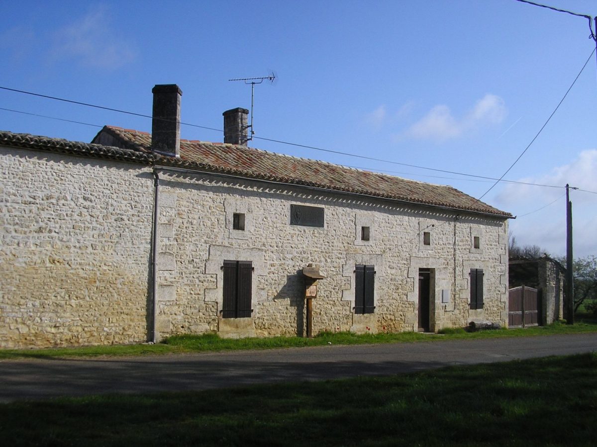
In the village of Les Forêts you pass in front of the Duruisseau farm – a center of the Resistance, this is where the Special Sabotage Section was created in 1944 by Jacques Nancy and René Chabasse.
In the village of Les Forêts you pass in front of the Duruisseau farm – a center of the Resistance, this is where the Special Sabotage Section was created in 1944 by Jacques Nancy and René Chabasse.
9
Step 9
In the bend, turn obliquely to the left and continue on the path for about 800m.
Turn right then immediately left. Take the road to the left for 200m.
Turn right then immediately left. Take the road to the left for 200m.
10
Step 10
Take the first path on the right. At the intersection, leave the path on the right which goes to Grand Arsac to continue straight.
11
Step 11
Go left in front of the Prazelles well and before the road turn at the top right towards Chez Biard. Turn left into the village.
12
Step 12
Cross the D 4. Take the small Hauteville road opposite which descends to the starting point.