


Distance: 17 km
Elevation: 71 D +
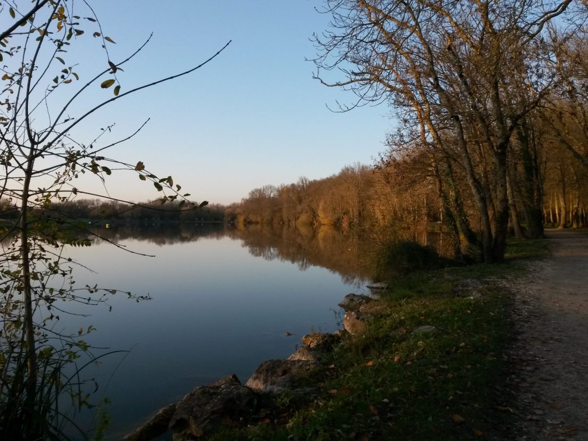
Departure: Lake of the Grande Prairie
LOOP
Circuits of France_circuits
Circuits of France_POI
Outside
Registered with the PDIPR
As the water flows
Red markup
Public transport stop within 500 m
Bus stop within 500 m
At the water's edge
In the countryside
 Walking
Why we love
From the Coulée verte to the Bois des Rouyers, passing through the Combe du Maine, this hike has great discoveries and beautiful landscapes in store for you: century-old plane trees, locks, footbridges and other vestiges border the Charente at Saint-Yrieix and Angoulême.
Your itinerary
Saint-Yrieix-sur-Charente
1
The start
Go around the body of water to the left and follow it to the other end.
2
Step 2
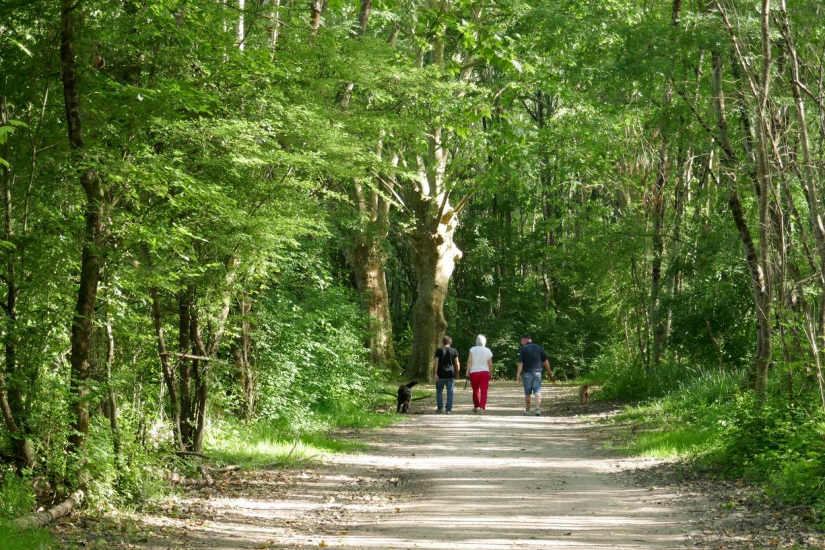
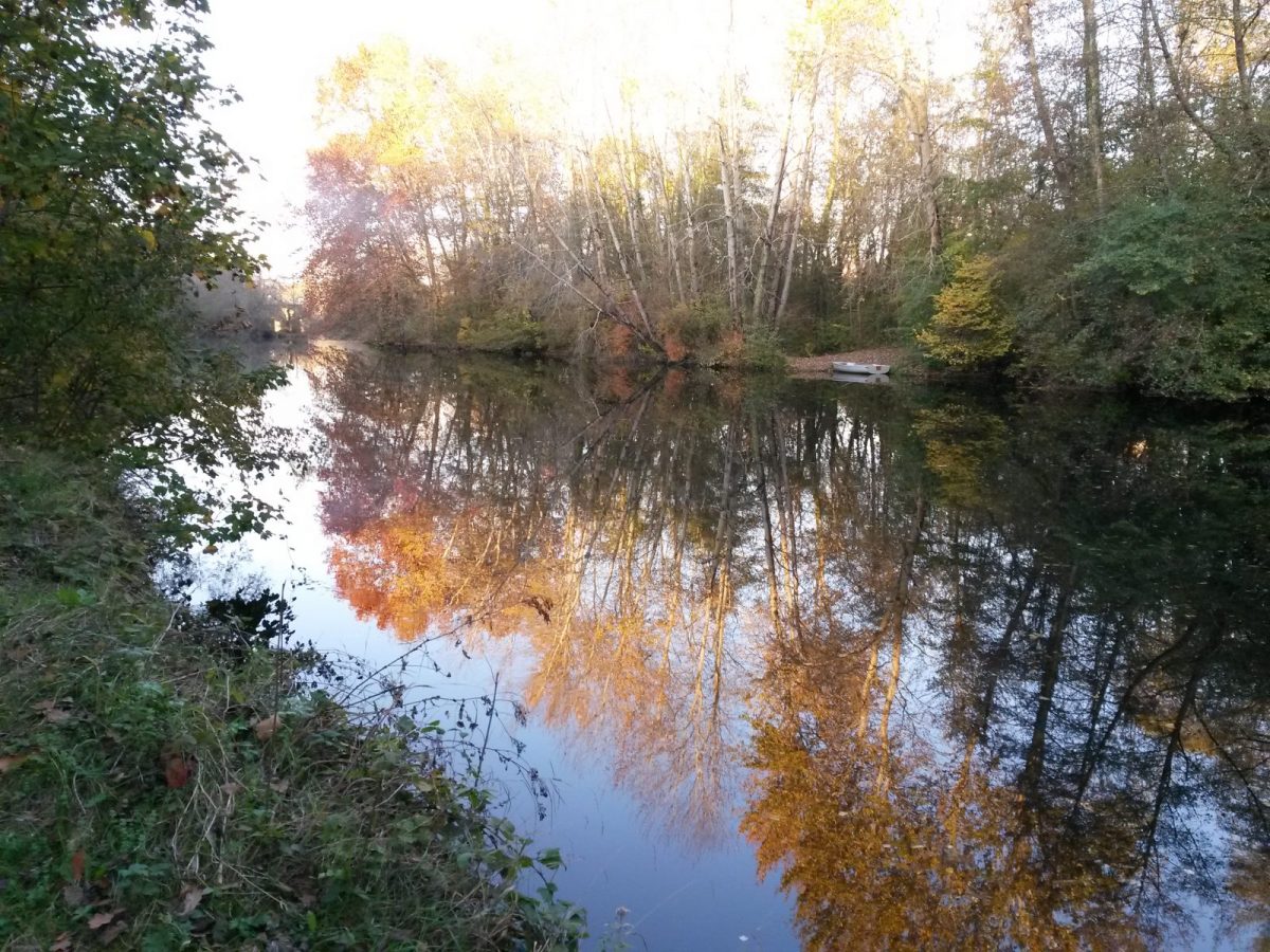
Go under the RN10 to reach the Coulée verte. You will follow for more than 7 km the old towpath which runs along the Charente – between Saint-Yrieix and Angoulême, century-old plane trees once adorning the park of L'Houmelet, border the river.
3
Step 3
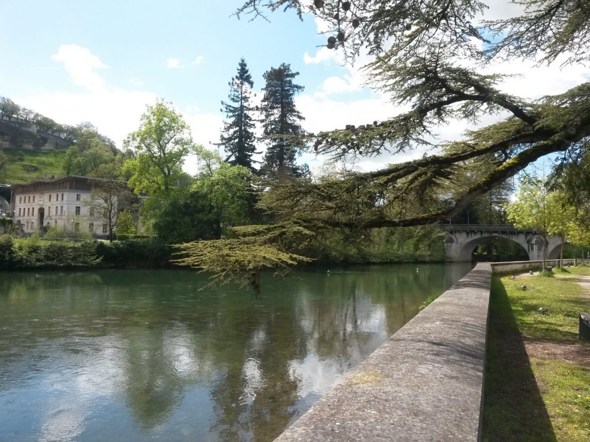
Here the Touvre and the Charente meet. A little further in the middle of the river is the pile of the old railway bridge of "P'tit Rouillat".
After passing under Boulevard de Bretagne then under the Bourgines footbridge, cross the island to the right and cross the small bridge on the canoe-kayak route.
After passing under Boulevard de Bretagne then under the Bourgines footbridge, cross the island to the right and cross the small bridge on the canoe-kayak route.
4
Step 4
Go along the river on the left. Go past the comic strip museum. At the end of the forecourt, pass under the Saint-Cybard bridge and walk along the river. Further on, the disused footbridge was built to reduce the route of the powder compacts who went on foot to the Poudrerie.
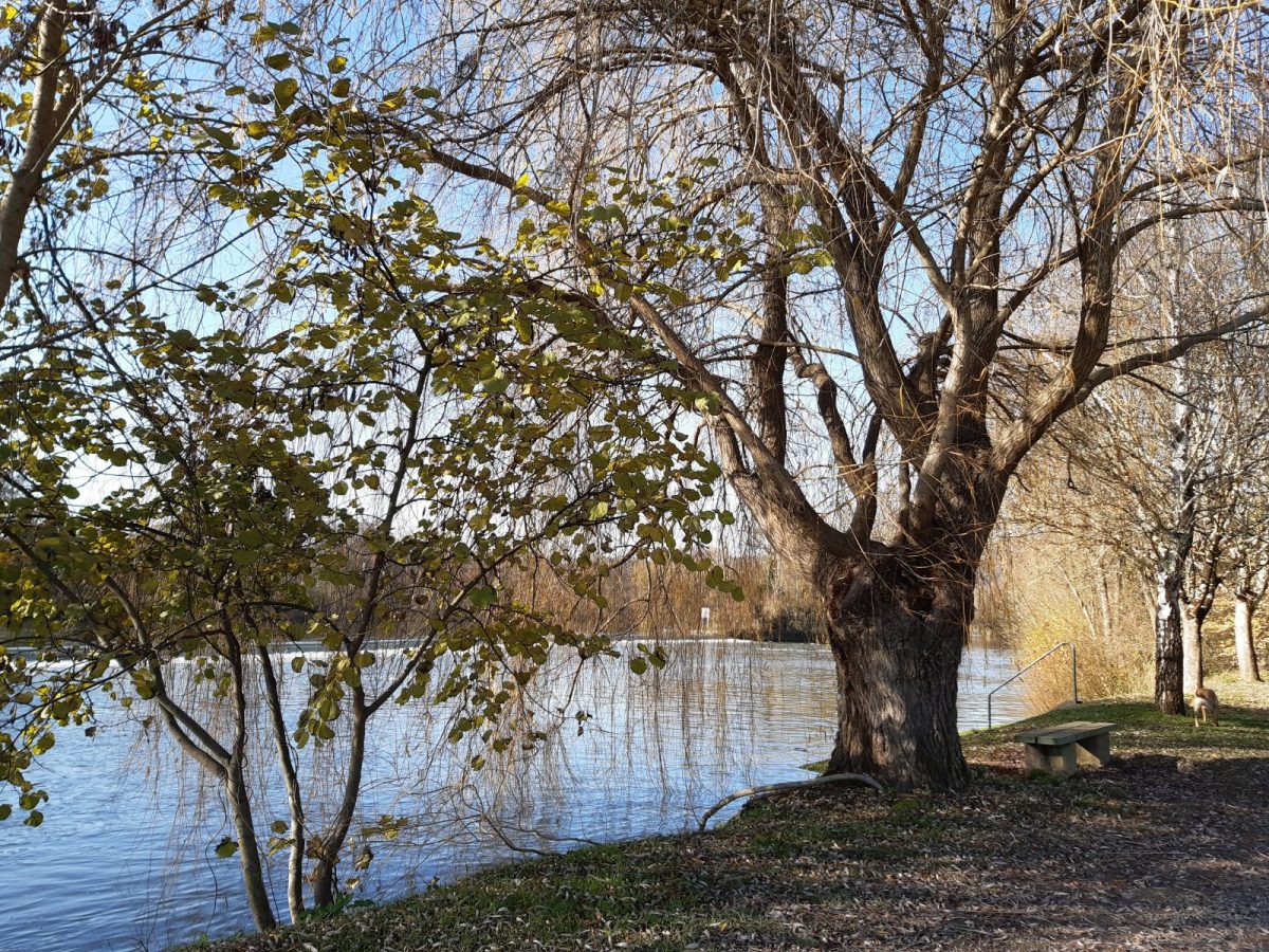
Continue to the Thouérat lock.
Continue to the Thouérat lock.
5
Step 5
Leave the river by taking the rue de la baie on the right. Turn right on the Royan road and follow it to the protected passage located 130 m away.
6
Step 6
Cross over to take rue de Chausse-Loup opposite and continue in the valley for 1,5 km, ignoring all the starting points.
7
Step 7
Carefully cross rue de Saint-Jean d'Angély and go straight ahead.
Turn right in front of the detour embankment and walk along the houses to rue de la Coutille.
Turn right in front of the detour embankment and walk along the houses to rue de la Coutille.
8
Step 8
Cross, turn left and immediately right to follow the road to Petit Rouillac for 800m – see on the left the first wind turbines in North Charente.
9
Step 9
Retrace your steps a little on the other side of the ditch to go around the wood, turn left at the intersection, walk along the houses.
Pass the barriers, continue rue François Mauriac.
Pass the barriers, continue rue François Mauriac.
10
Step 10
Enter the wood on the left after the barriers. Return to the Petit Rouillac road, which you cross on the protected passage.
Take the white path, pass under the tunnel, turn right and follow the ring road for 150m.
Take the white path, pass under the tunnel, turn right and follow the ring road for 150m.
11
Step 11
Leave the path to take the small path on the left which descends into the woods.
At the exit of the wood, follow the field to the right to go up to the right in the undergrowth.
At the exit of the wood, follow the field to the right to go up to the right in the undergrowth.
12
Step 12
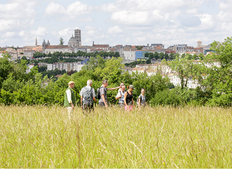
Bypass the roundabout on the left and follow the white path for 350m – enjoy the wide panorama extending from the crests of Champniers to the belfry of the town hall of Angoulême.
13
Step 13
Go down to the left towards the village of Le Mas and follow the Route de la Prairie du Mas to the Route des Mesniers -lThe strong market gardening and horticultural vocation of the town is still visible today, even if the number of farms has considerably decreased .
14
Step 14
Cross at the protected passage located on the left and take Rue des Pradelles de la Combe. In the 3rd bend, follow the gentle blue path opposite to the lake.
Join the car park on the left.
Join the car park on the left.