


Distance: 9 km
Duration (average) : 02h
Elevation: 47 D +
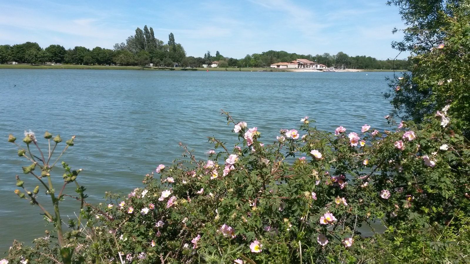
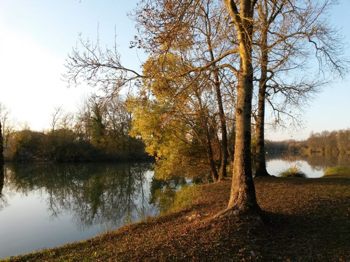
Departure: Grande Prairie lake
LOOP
Not recommended in bad weather
Circuits of France_circuits
Circuits of France_POI
Outside
Registered with the PDIPR
Flora
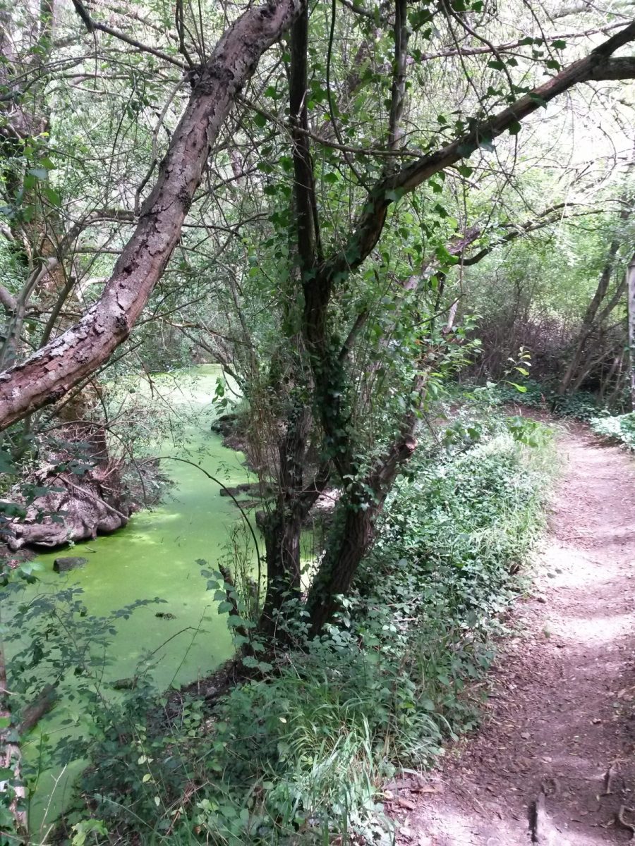
As the water flows
Yellow markings
In the countryside
Shuttle stop within 300 m
Lake view
Public transport stop within 500 m
Village at -2 km
At the water's edge
Beach less than 300 m
 Walking
Why we love
Located in a protected area, it is a wild part of the Coulée verte along the arms of the Charente, which will take you to the charming village of Vénat and its chapel. Going up in the wood of Rouyers, you will discover the fountain of pots.

Your itinerary
Saint-Yrieix-sur-Charente
1
Step 1
Go along the body of water on the left.
2
Step 2
At the end of the pond, turn left into the Petite Prairie. Follow the river for 1,5 km.
Starting point of the Coulée Verte, the Petite Prairie is a protected area for the fauna and flora of this flood-prone hay meadow.
Starting point of the Coulée Verte, the Petite Prairie is a protected area for the fauna and flora of this flood-prone hay meadow.
3
Step 3
Ignore the path that strays to the left to continue along the arm of the Charente.
At the end of the path, take the path to the left that goes up to join the road.
Follow the Rue des Mesniers to the right which leads to the village of Vénat, the former administrative center of the town.
At the end of the path, take the path to the left that goes up to join the road.
Follow the Rue des Mesniers to the right which leads to the village of Vénat, the former administrative center of the town.
4
Step 4
Take the second road on the left after the bend. Off course, the Rue du Grand Puits leads to the Saint-Joseph l'Amandier high school and to the XNUMXth century château de la Pouyade, a hotel and events complex.
5
Step 5
Take the Rue de l'ancienne mairie to the left – now transformed into a school – and walk along the church.
Take rue Jean and Constant Priolaud opposite.
Take rue Jean and Constant Priolaud opposite.
6
Step 6
Turn immediately left rue Jean Marvaud.
Follow the dead end to the right and immediately turn left to pass in front of the well, walk along the car park and return to Rue Priolaud which you cross. Take the path opposite the building, turn left at the end.
Follow the dead end to the right and immediately turn left to pass in front of the well, walk along the car park and return to Rue Priolaud which you cross. Take the path opposite the building, turn left at the end.
7
Step 7
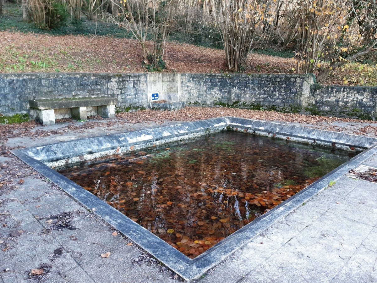
At the intersection, take the path on the right which leads to the fountain of pots – so named because the hemp was put there to ret in pots.
Go up in the wood, follow the diversion, go past the tunnel.
Go up in the wood, follow the diversion, go past the tunnel.
8
Step 8
150m after the tunnel, leave the path to take the small path on the left which descends into the woods.
At the exit of the wood, follow the field to the right to go up to the right in the undergrowth.
At the exit of the wood, follow the field to the right to go up to the right in the undergrowth.
9
Step 9
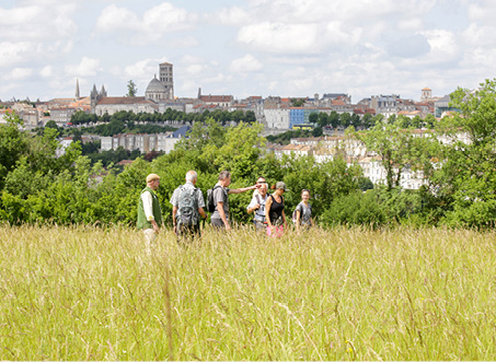
Bypass the roundabout on the left and follow the white path for 350m – enjoy the wide panorama extending from the crests of Champniers to the belfry of the town hall of Angoulême.
10
Step 10
Go down to the left towards the village of Le Mas and follow the route de la prairie du Mas to the Route des Mesniers - The strong market gardening and horticultural vocation of the town is still visible today, even if the number of farms has considerably decreased .
11
Step 11
Cross at the protected passage located on the left and take Rue des Pradelles de la Combe. In the 3rd bend, follow the gentle blue path opposite to the lake.
Join the car park on the left.
Join the car park on the left.