


Distance: 6 km
Duration (average) : 02h
Departure: church of Vénat
LOOP
Circuits of France_circuits
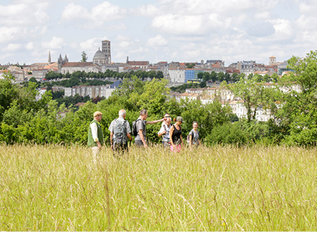
On the outskirts of the city
Village center
Lake or body of water at -5 km
River at -5 km
 Walking
Why we love
Vénat still bears the characteristics of these villages that once lived off viticulture. Discover wells, washhouses and porches, witnesses of the past along its many winding and narrow streets reminiscent of medieval plots.
Unmarked circuit

Your itinerary
Saint-Yrieix-sur-Charente
1
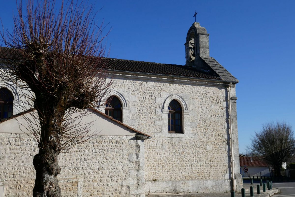
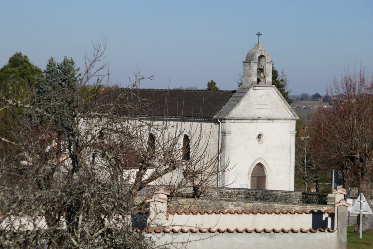
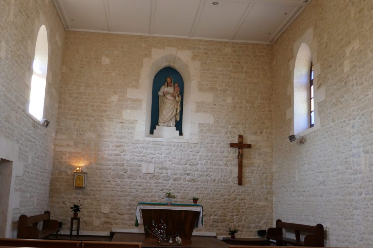
Église
Facing the church, follow Rue Jean Ravanaud to the right. Walk along the old presbytery and turn left on Rue du Presbytère - the chapel built in 1847 was erected as a parish church dedicated to Saint-Arédius in 1848. In 1950, the current church of Les Planes, Notre Dame de la route, was erected.
2
Chantoiseau wash house
Take Rue de Chantoiseau on the left. At the end are the fountain and the washhouse of Chantoiseau – 3 public washhouses remain in the village.
3
Panorama over the Charente valley
Carefully continue to the right via Rue de la Montée de Vénat. On the right, you can see a steeple, a vestige of the Cordeliers chapel built in 1747 in the village of Chantoiseau and destroyed during the Revolution. it was renovated in 2008.
4
Rue Alcide Bassoulet
In the bend, go down the small Rue Alcide Bassoulet on the right then turn left at the bottom, Rue des Rocs Berchet.
5
Washhouse at Chez Bréchet
After passing the intersection with Rue du Puits, turn left onto the country lane that leads to the Chez Bréchet washhouse.
Return to the intersection and continue to the left along Rue du Grand Puits.
Return to the intersection and continue to the left along Rue du Grand Puits.
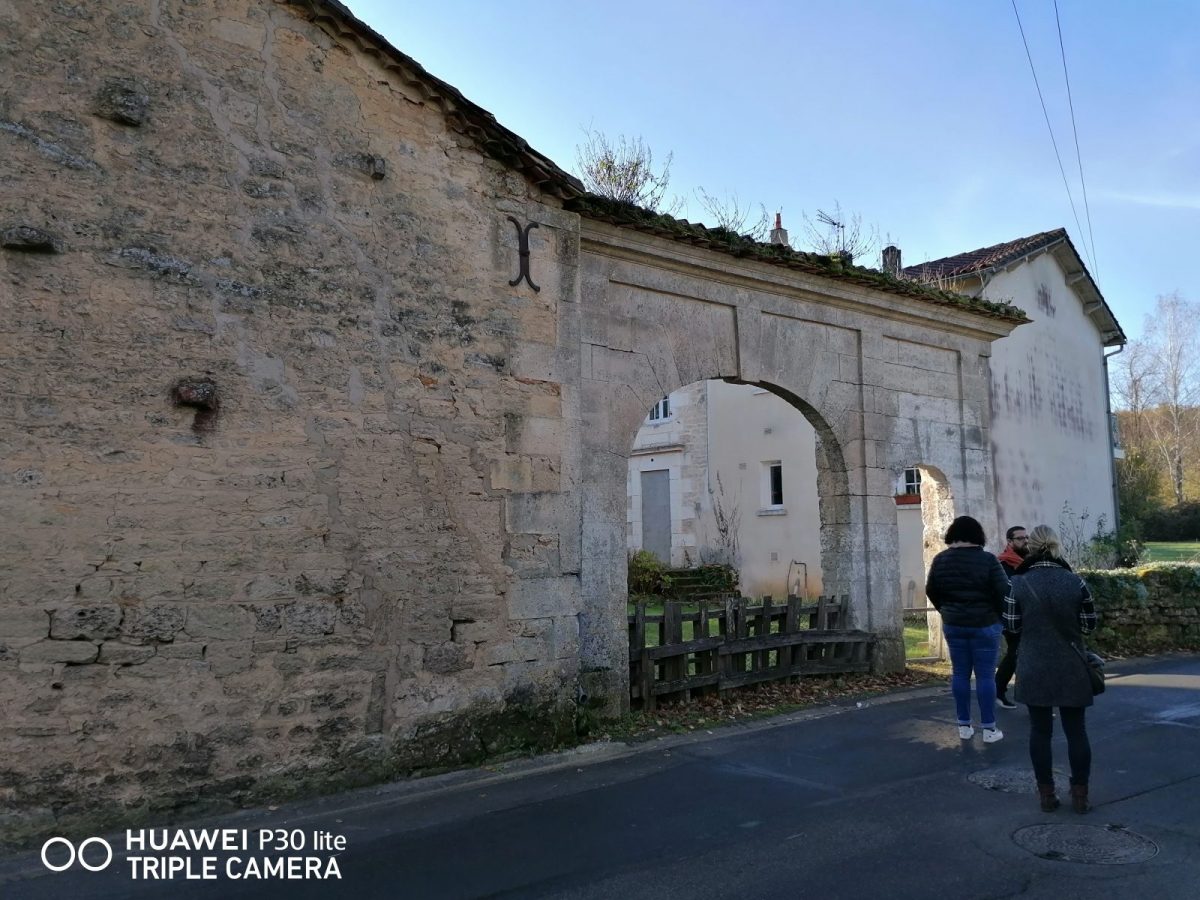
6
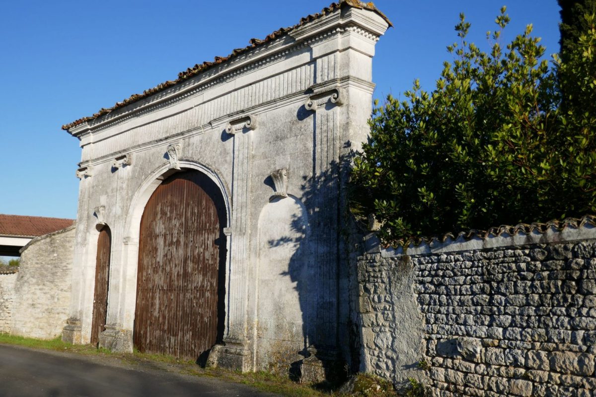
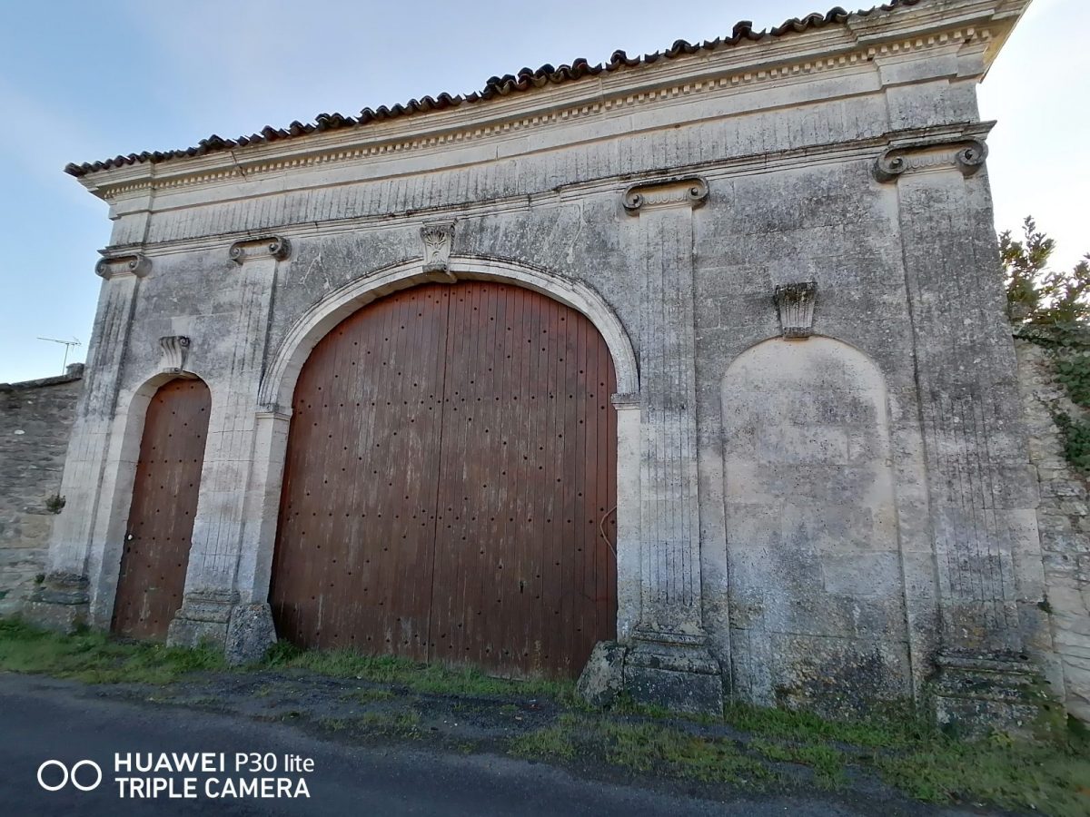
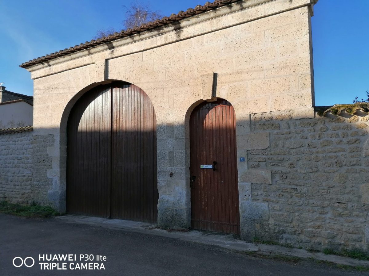
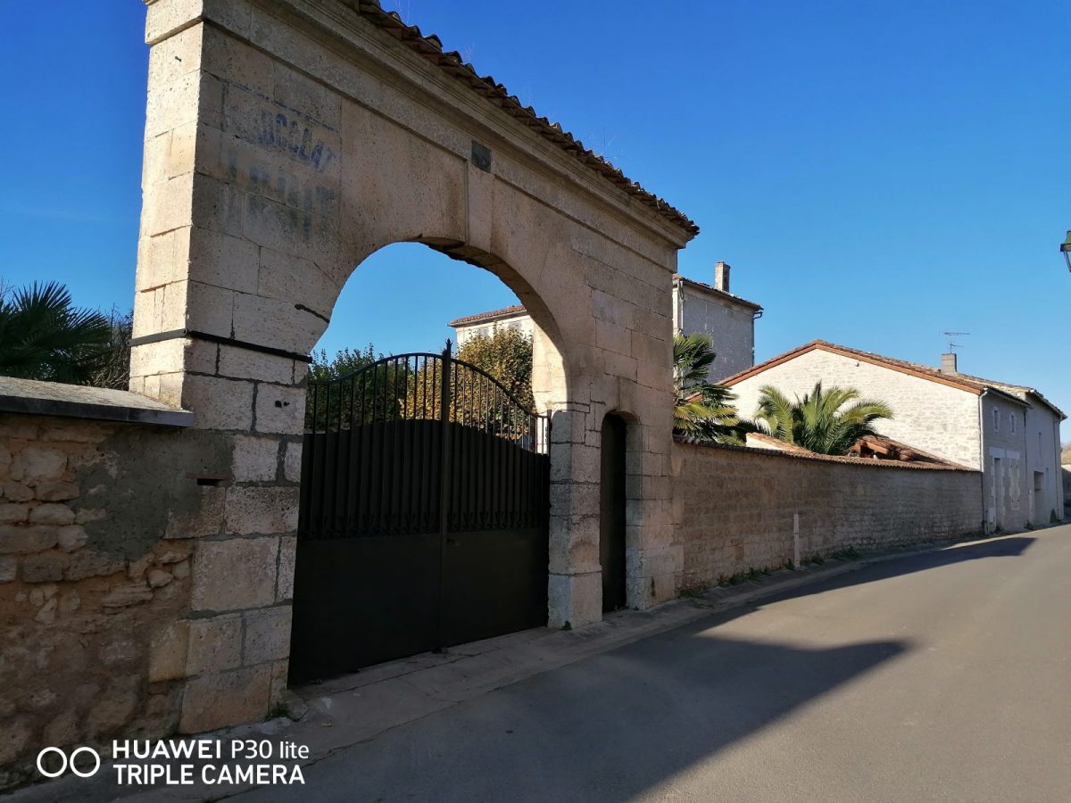
portals
Take Rue du Villars on the right then Rue Maurice Michaud on the left to find a succession of remarkable porches – the porches were the centerpiece of the old wine properties reflecting the status of the owners. You will also have the opportunity, if the gates are open, to see many private wells.
7
Old town hall school
Find the Rue du Grand Puits on the right until the intersection with the Rue de l'Ancienne Mairie which you take to the right - at the end of the impasse on the left is the private castle of Pouyade, today today hotel residence. From the post-war period to 2020, it housed the religious congregation of the Good Shepherd.
Go past the old school town hall. The too old building and its off-centre location no longer corresponded to the needs of the town, which was then experiencing a very significant increase in population (776 inhabitants in 1821, more than 7200 today). After the transfer to the current town hall, in 1976, a partial administrative permanence was established for a few months to ensure a smooth transition. The building now houses an elementary school and a kindergarten.
Go past the old school town hall. The too old building and its off-centre location no longer corresponded to the needs of the town, which was then experiencing a very significant increase in population (776 inhabitants in 1821, more than 7200 today). After the transfer to the current town hall, in 1976, a partial administrative permanence was established for a few months to ensure a smooth transition. The building now houses an elementary school and a kindergarten.
8
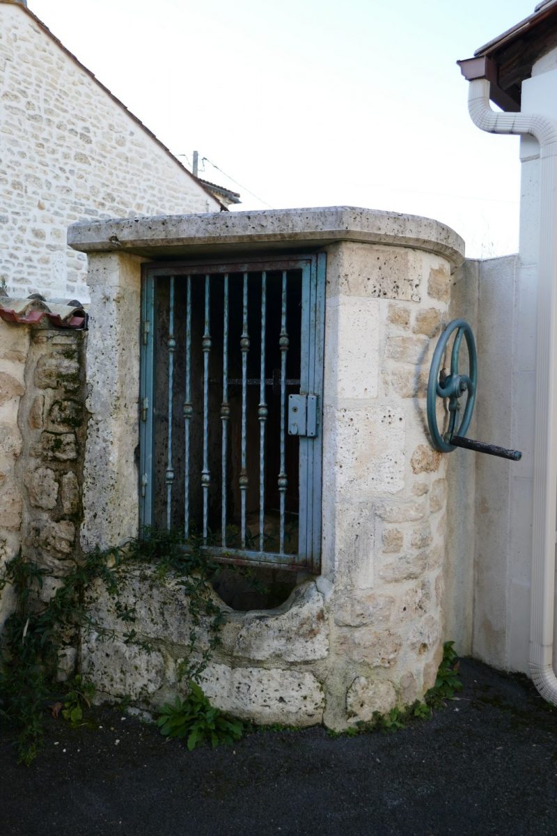
Well
Turn left into Rue des Juillets – a beautiful gate at the foot of which you will notice the "hash-wheels", a corner stone protecting the gate when passing carts.
At the end, turn right, see the well at the corner of Rue de Chez Migounet which you take – beautiful building.
At the end, turn right, see the well at the corner of Rue de Chez Migounet which you take – beautiful building.
9
Well
Turn left into Rue Basse.
Halfway, enter the dead end on the left to see the well at the bottom.
Retrace your steps, continue and turn right to reach Rue des Mesniers. Cross to walk on the pavement and continue in the old village.
Before arriving at the church, turn left Rue Jean Marvaud.
Follow Rue Jean and Constant Priolaud to the left.
10
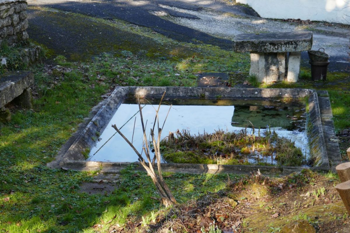
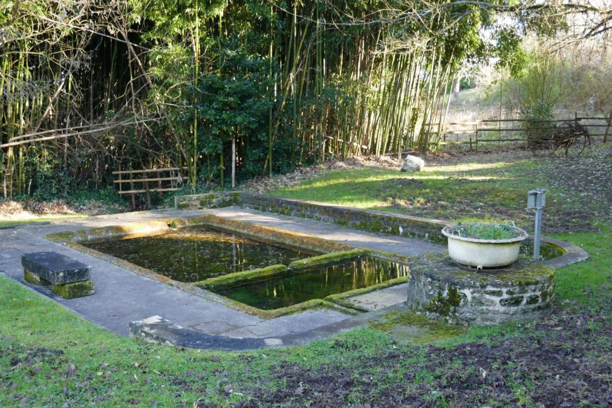
Fountain of the Pots
Cross on the pedestrian crossing and turn after the house in the grassy path on the right.
At the end of this path, turn left to see the Fontaine des Pots – this basin where hemp was once left to ret in pots placed at the bottom has been transformed into a washhouse.
You can retrace your steps or continue the path that climbs to return through the undergrowth by the first path on the left to Rue de la Font des Pots.
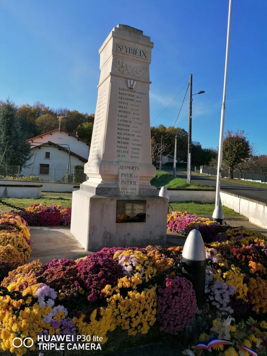
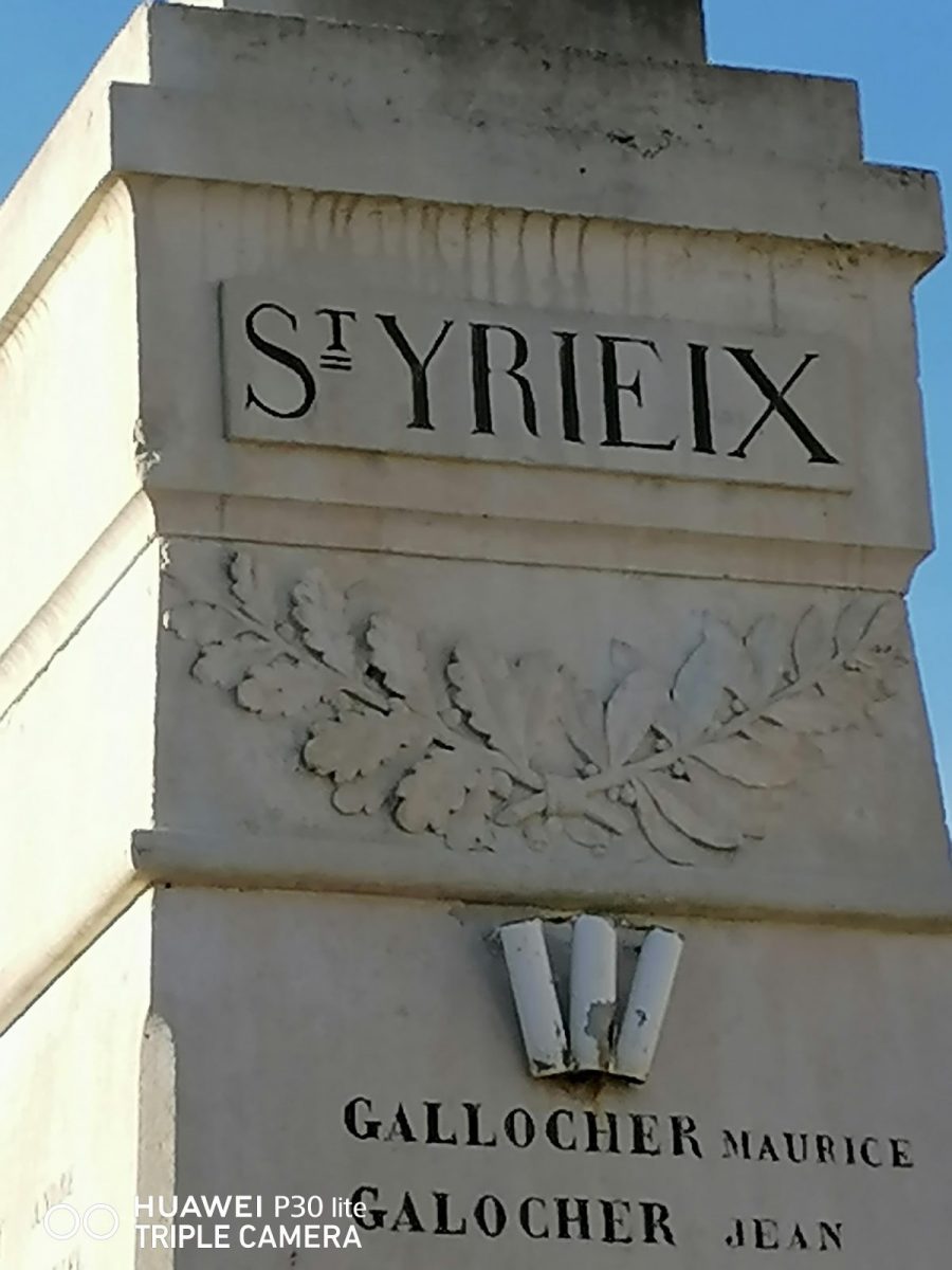
11
Memorial
Note the well below on the right, take Rue de la Coutille to the War Memorial and the church.